Where is Ferry County, Washington?
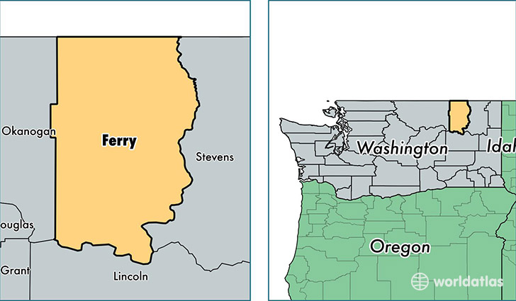
Ferry County is a county equivalent area found in Washington, USA. The county government of Ferry is found in the county seat of Republic.
With a total 5,846.45 sq. km of land and water area, Ferry County, Washington is the 274th largest county equivalent area in the United States. Home to 7,667 people, Ferry County has a total 4380 households earning 37571 on average per year.
Ferry County, Washington - Quick Facts
| FIPS Code | 53019 |
| Area Codes | 509 |
| Time Zone | PST |
| Major Cities | Republic (population: 3,286), Inchelium (population: 1,233), Curlew (population: 949), Keller (population: 484), Malo (population: 387), Orient (population: 152), Danville (population: 147), Laurier (population: 57) |
| Land Area | 2,960 sq miles |
| Water Area | 2,203 sq miles |
| Household Income | $37,571 |
| Housing Units | 4,380 |
| Median Home Value | $156,300 |
| High School Grads | 87% of population |
| Holders of Bachelors Degrees | 16% of population |
| Retail Spending | $4,758 per capita |
| Food & Accomodation Sales | $2,077 per capita |
This page was last updated on June 30, 2016.