Where is Patrick County, Virginia?
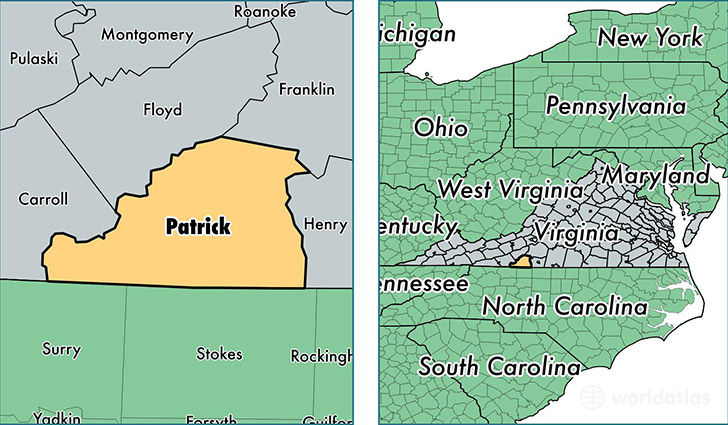
Patrick County is a county equivalent area found in Virginia, USA. The county government of Patrick is found in the county seat of Stuart.
With a total 1,258.38 sq. km of land and water area, Patrick County, Virginia is the 2226th largest county equivalent area in the United States. Home to 18,264 people, Patrick County has a total 10032 households earning 34864 on average per year.
Patrick County, Virginia - Quick Facts
| FIPS Code | 51141 |
| Area Codes | 276 |
| Time Zone | EST |
| Major Cities | Stuart (population: 8,232), Ararat (population: 2,708), Patrick Springs (population: 2,620), Meadows of Dan (population: 1,857), Claudville (population: 969), Woolwine (population: 852), Critz (population: 418) |
| Land Area | 7,052 sq miles |
| Water Area | 483 sq miles |
| Household Income | $34,864 |
| Housing Units | 10,032 |
| Median Home Value | $110,500 |
| High School Grads | 75% of population |
| Holders of Bachelors Degrees | 11% of population |
| Retail Spending | $7,904 per capita |
| Food & Accomodation Sales | $6,647 per capita |
This page was last updated on June 30, 2016.