Where is Franklin County, Virginia?
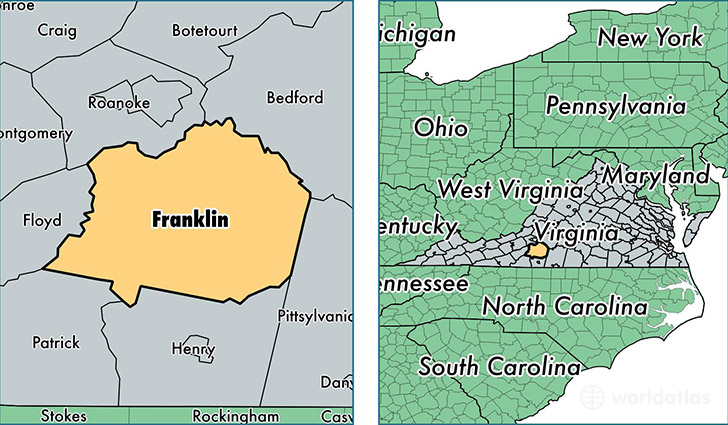
Franklin County is a county equivalent area found in Virginia, USA. The county government of Franklin is found in the county seat of Rocky Mount.
With a total 1,842.9 sq. km of land and water area, Franklin County, Virginia is the 1415th largest county equivalent area in the United States. Home to 56,358 people, Franklin County has a total 29276 households earning 45624 on average per year.
Franklin County, Virginia offers the following attraction to visitors: Booker T. Washington NM
Franklin County, Virginia - Quick Facts
| FIPS Code | 51067 |
| Area Codes | 540 |
| Time Zone | EST |
| Major Cities | Rocky Mount (population: 20,089), Boones Mill (population: 6,169), Hardy (population: 6,167), Ferrum (population: 5,431), Wirtz (population: 4,726), Glade Hill (population: 3,076), Penhook (population: 2,586), Callaway (population: 2,240), Henry (population: 1,701), Union Hall (population: 1,366) |
| Land Area | 21,760 sq miles |
| Water Area | 690 sq miles |
| Household Income | $45,624 |
| Housing Units | 29,276 |
| Median Home Value | $163,700 |
| High School Grads | 83% of population |
| Holders of Bachelors Degrees | 19% of population |
| Retail Spending | $8,657 per capita |
| Food & Accomodation Sales | $40,310 per capita |
This page was last updated on June 30, 2016.