Where is Floyd County, Virginia?
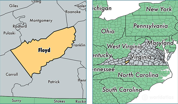
Floyd County is a county equivalent area found in Virginia, USA. The county government of Floyd is found in the county seat of Floyd.
With a total 988.86 sq. km of land and water area, Floyd County, Virginia is the 2656th largest county equivalent area in the United States. Home to 15,578 people, Floyd County has a total 7844 households earning 44618 on average per year.
Floyd County, Virginia - Quick Facts
| FIPS Code | 51063 |
| Area Codes | 540 |
| Time Zone | EST |
| Major Cities | Floyd (population: 7,266), Willis (population: 2,658), Copper Hill (population: 1,778), Pilot (population: 1,625), Check (population: 1,307), Indian Valley (population: 503) |
| Land Area | 6,015 sq miles |
| Water Area | 381 sq miles |
| Household Income | $44,618 |
| Housing Units | 7,844 |
| Median Home Value | $144,700 |
| High School Grads | 81% of population |
| Holders of Bachelors Degrees | 16% of population |
| Retail Spending | $4,929 per capita |
| Food & Accomodation Sales | $6,569 per capita |
This page was last updated on June 30, 2016.