Where is Henry County, Virginia?
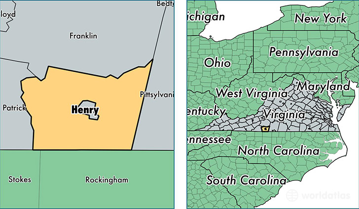
Henry County is a county equivalent area found in Virginia, USA.
With a total 995.54 sq. km of land and water area, Henry County, Virginia is the 2647th largest county equivalent area in the United States. Home to 52,081 people, Henry County has a total 26018 households earning 34984 on average per year.
Henry County, Virginia - Quick Facts
| FIPS Code | 51089 |
| Area Codes | 276 |
| Time Zone | EST |
| Major Cities | Martinsville (population: 32,177), Bassett (population: 13,402), Ridgeway (population: 7,838), Collinsville (population: 6,959), Axton (population: 6,669), Fieldale (population: 2,582), Spencer (population: 1,588), Stanleytown (population: 182) |
| Land Area | 20,109 sq miles |
| Water Area | 382 sq miles |
| Household Income | $34,984 |
| Housing Units | 26,018 |
| Median Home Value | $94,600 |
| High School Grads | 77% of population |
| Holders of Bachelors Degrees | 11% of population |
| Retail Spending | $7,860 per capita |
| Food & Accomodation Sales | $38,392 per capita |
This page was last updated on June 30, 2016.