Where is Bristol County, Massachusetts?
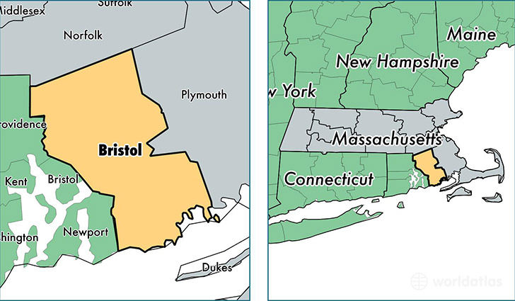
Bristol County is a county equivalent area found in Massachusetts, USA. The county government of Bristol is found in the county seat of Taunton.
With a total 1,790.26 sq. km of land and water area, Bristol County, Massachusetts is the 1463rd largest county equivalent area in the United States. Home to 554,194 people, Bristol County has a total 230256 households earning 55298 on average per year.
Bristol County, Massachusetts offers the following attractions to visitors: USS Joseph P. Kennedy, Jr. (DD-850), USS Lionfish (SS-298), New Bedford Whaling NHP
Bristol County, Massachusetts - Quick Facts
| FIPS Code | 25005 |
| Area Codes | 508 |
| Time Zone | EST |
| Major Cities | New Bedford (population: 95,387), Fall River (population: 88,701), Taunton (population: 49,286), Attleboro (population: 43,815), North Attleboro (population: 26,875), Mansfield (population: 23,302), North Dartmouth (population: 23,043), Norton (population: 19,128), Somerset (population: 18,257), Fairhaven (population: 15,953) |
| Land Area | 213,975 sq miles |
| Water Area | 553 sq miles |
| Household Income | $55,298 |
| Housing Units | 230,256 |
| Median Home Value | $278,100 |
| High School Grads | 82% of population |
| Holders of Bachelors Degrees | 25% of population |
| Retail Spending | $15,882 per capita |
| Food & Accomodation Sales | $885,231 per capita |
| Universities and Colleges | La Baron Hairdressing Academy, Southern New England School of Law |
This page was last updated on June 30, 2016.