Where is Linn County, Oregon?
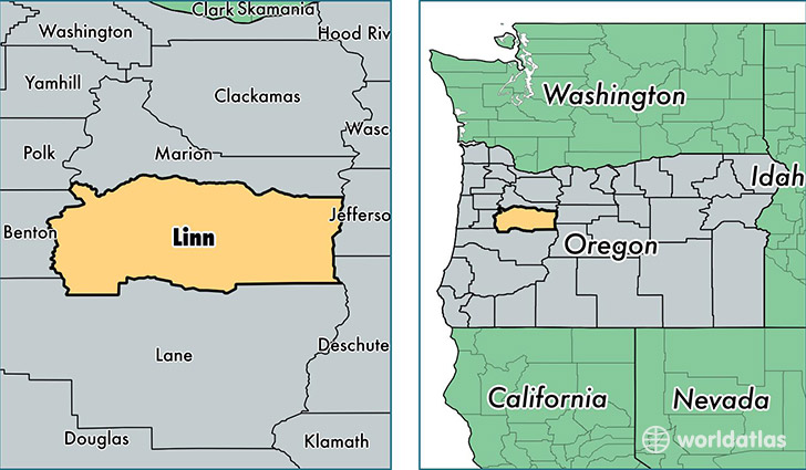
Linn County is a county equivalent area found in Oregon, USA. The county government of Linn is found in the county seat of Albany.
With a total 5,982.47 sq. km of land and water area, Linn County, Oregon is the 264th largest county equivalent area in the United States. Home to 119,356 people, Linn County has a total 48827 households earning 46939 on average per year.
Linn County, Oregon - Quick Facts
| FIPS Code | 41043 |
| Area Codes | 541,503 |
| Time Zone | PST |
| Major Cities | Albany (population: 59,780), Lebanon (population: 29,026), Sweet Home (population: 13,763), Scio (population: 5,342), Harrisburg (population: 4,881), Brownsville (population: 2,912), Lyons (population: 2,613), Mill City (population: 2,281), Tangent (population: 1,700), Halsey (population: 1,648) |
| Land Area | 46,084 sq miles |
| Water Area | 2,291 sq miles |
| Household Income | $46,939 |
| Housing Units | 48,827 |
| Median Home Value | $173,600 |
| High School Grads | 89% of population |
| Holders of Bachelors Degrees | 17% of population |
| Retail Spending | $10,248 per capita |
| Food & Accomodation Sales | $125,446 per capita |
This page was last updated on June 30, 2016.