Where is Polk County, Oregon?
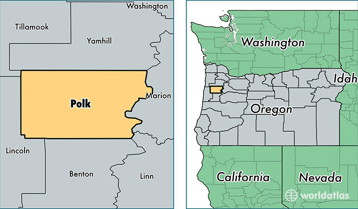
Polk County is a county equivalent area found in Oregon, USA. The county government of Polk is found in the county seat of Dallas.
With a total 1,926.88 sq. km of land and water area, Polk County, Oregon is the 1290th largest county equivalent area in the United States. Home to 77,916 people, Polk County has a total 30391 households earning 52808 on average per year.
Polk County, Oregon - Quick Facts
| FIPS Code | 41053 |
| Area Codes | 503 |
| Time Zone | PST |
| Major Cities | Salem (population: 28,812), Dallas (population: 20,297), Monmouth (population: 11,399), Independence (population: 10,436), Grand Ronde (population: 1,900), Falls City (population: 1,089), Rickreall (population: 739) |
| Land Area | 30,084 sq miles |
| Water Area | 741 sq miles |
| Household Income | $52,808 |
| Housing Units | 30,391 |
| Median Home Value | $217,400 |
| High School Grads | 90% of population |
| Holders of Bachelors Degrees | 29% of population |
| Retail Spending | $5,007 per capita |
This page was last updated on June 30, 2016.