Where is Deschutes County, Oregon?
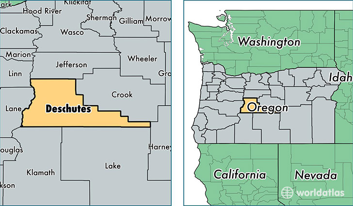
Deschutes County is a county equivalent area found in Oregon, USA. The county government of Deschutes is found in the county seat of Bend.
With a total 7,911.79 sq. km of land and water area, Deschutes County, Oregon is the 182nd largest county equivalent area in the United States. Home to 170,388 people, Deschutes County has a total 80989 households earning 50209 on average per year.
Deschutes County, Oregon offers the following attractions to visitors: High Desert Museum, Newberry National Volcanic Monument
Deschutes County, Oregon - Quick Facts
| FIPS Code | 41017 |
| Area Codes | 541 |
| Time Zone | PST |
| Major Cities | Bend (population: 108,423), Redmond (population: 34,519), La Pine (population: 11,281), Sisters (population: 6,474), Brothers (population: 39) |
| Land Area | 65,787 sq miles |
| Water Area | 3,018 sq miles |
| Household Income | $50,209 |
| Housing Units | 80,989 |
| Median Home Value | $249,500 |
| High School Grads | 93% of population |
| Holders of Bachelors Degrees | 31% of population |
| Retail Spending | $18,311 per capita |
| Food & Accomodation Sales | $416,425 per capita |
This page was last updated on June 30, 2016.