Where is Lane County, Oregon?
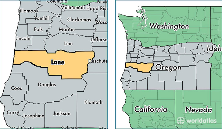
Lane County is a county equivalent area found in Oregon, USA. The county government of Lane is found in the county seat of Eugene.
With a total 12,229.47 sq. km of land and water area, Lane County, Oregon is the 99th largest county equivalent area in the United States. Home to 358,337 people, Lane County has a total 156448 households earning 42931 on average per year.
Lane County, Oregon - Quick Facts
| FIPS Code | 41039 |
| Area Codes | 541 |
| Time Zone | PST |
| Major Cities | Eugene (population: 192,629), Springfield (population: 74,478), Cottage Grove (population: 17,731), Florence (population: 14,458), Junction City (population: 12,342), Creswell (population: 9,794), Veneta (population: 8,516), Oakridge (population: 3,908), Elmira (population: 2,592), Pleasant Hill (population: 2,558) |
| Land Area | 138,355 sq miles |
| Water Area | 4,553 sq miles |
| Household Income | $42,931 |
| Housing Units | 156,448 |
| Median Home Value | $218,900 |
| High School Grads | 91% of population |
| Holders of Bachelors Degrees | 28% of population |
| Retail Spending | $12,912 per capita |
| Food & Accomodation Sales | $607,721 per capita |
| Universities and Colleges | University of Oregon |
This page was last updated on June 30, 2016.