Where is Crook County, Oregon?
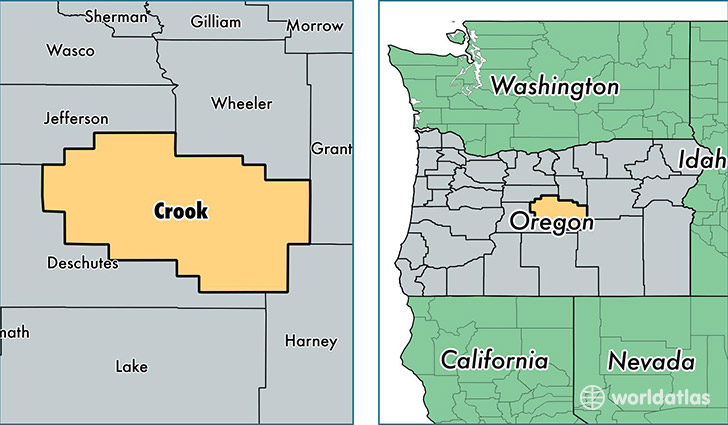
Crook County is a county equivalent area found in Oregon, USA. The county government of Crook is found in the county seat of Prineville.
With a total 7,736.99 sq. km of land and water area, Crook County, Oregon is the 187th largest county equivalent area in the United States. Home to 20,998 people, Crook County has a total 10208 households earning 38795 on average per year.
Crook County, Oregon - Quick Facts
| FIPS Code | 41013 |
| Area Codes | 541 |
| Time Zone | PST |
| Major Cities | Prineville (population: 18,353), Powell Butte (population: 1,992), Paulina (population: 127), Post (population: 43) |
| Land Area | 8,107 sq miles |
| Water Area | 2,979 sq miles |
| Household Income | $38,795 |
| Housing Units | 10,208 |
| Median Home Value | $173,000 |
| High School Grads | 85% of population |
| Holders of Bachelors Degrees | 15% of population |
| Retail Spending | $6,147 per capita |
| Food & Accomodation Sales | $22,704 per capita |
This page was last updated on June 30, 2016.