Where is Harney County, Oregon?
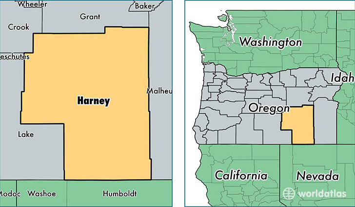
Harney County is a county equivalent area found in Oregon, USA. The county government of Harney is found in the county seat of Burns.
With a total 26,486.47 sq. km of land and water area, Harney County, Oregon is the 27th largest county equivalent area in the United States. Home to 7,126 people, Harney County has a total 3778 households earning 38113 on average per year.
Harney County, Oregon - Quick Facts
| FIPS Code | 41025 |
| Area Codes | 541 |
| Time Zone | PST |
| Major Cities | Burns (population: 4,401), Hines (population: 1,886), Princeton (population: 263), Drewsey (population: 171), Crane (population: 135), Fields (population: 116), Riley (population: 98), Diamond (population: 88), Frenchglen (population: 70) |
| Land Area | 2,751 sq miles |
| Water Area | 10,133 sq miles |
| Household Income | $38,113 |
| Housing Units | 3,778 |
| Median Home Value | $112,300 |
| High School Grads | 88% of population |
| Holders of Bachelors Degrees | 16% of population |
| Retail Spending | $12,936 per capita |
| Food & Accomodation Sales | $11,056 per capita |
This page was last updated on June 30, 2016.