Where is Columbia County, Oregon?
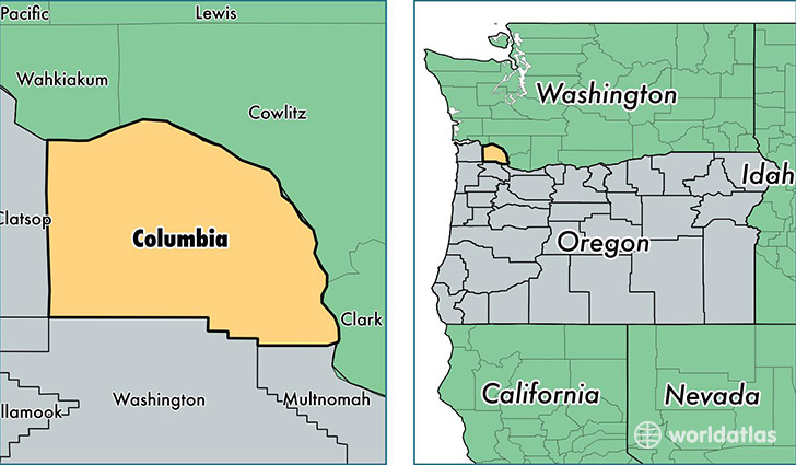
Columbia County is a county equivalent area found in Oregon, USA. The county government of Columbia is found in the county seat of Saint Helens.
With a total 1,782.77 sq. km of land and water area, Columbia County, Oregon is the 1469th largest county equivalent area in the United States. Home to 49,459 people, Columbia County has a total 20541 households earning 54968 on average per year.
Columbia County, Oregon - Quick Facts
| FIPS Code | 41009 |
| Area Codes | 503 |
| Time Zone | PST |
| Major Cities | Saint Helens (population: 15,935), Scappoose (population: 11,491), Rainier (population: 6,682), Clatskanie (population: 6,082), Vernonia (population: 3,460), Warren (population: 3,242), Columbia City (population: 1,949), Deer Island (population: 1,576) |
| Land Area | 19,096 sq miles |
| Water Area | 658 sq miles |
| Household Income | $54,968 |
| Housing Units | 20,541 |
| Median Home Value | $213,200 |
| High School Grads | 90% of population |
| Holders of Bachelors Degrees | 18% of population |
| Retail Spending | $7,306 per capita |
| Food & Accomodation Sales | $44,223 per capita |
This page was last updated on June 30, 2016.