Where is Wahkiakum County, Washington?
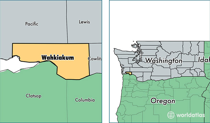
Wahkiakum County is a county equivalent area found in Washington, USA. The county government of Wahkiakum is found in the county seat of Cathlamet.
With a total 743.8 sq. km of land and water area, Wahkiakum County, Washington is the 2868th largest county equivalent area in the United States. Home to 4,067 people, Wahkiakum County has a total 2053 households earning 41815 on average per year.
Wahkiakum County, Washington - Quick Facts
| FIPS Code | 53069 |
| Area Codes | 360 |
| Time Zone | PST |
| Major Cities | Cathlamet (population: 2,714), Skamokawa (population: 405), Rosburg (population: 363), Grays River (population: 276) |
| Land Area | 1,570 sq miles |
| Water Area | 263 sq miles |
| Household Income | $41,815 |
| Housing Units | 2,053 |
| Median Home Value | $195,600 |
| High School Grads | 93% of population |
| Holders of Bachelors Degrees | 14% of population |
| Retail Spending | $2,947 per capita |
| Food & Accomodation Sales | $1,849 per capita |
This page was last updated on June 30, 2016.