Where is Clark County, Washington?
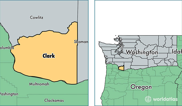
Clark County is a county equivalent area found in Washington, USA. The county government of Clark is found in the county seat of Vancouver.
With a total 1,699.64 sq. km of land and water area, Clark County, Washington is the 1554th largest county equivalent area in the United States. Home to 451,008 people, Clark County has a total 169746 households earning 58225 on average per year.
Clark County, Washington offers the following attraction to visitors: Fort Vancouver NHS
Clark County, Washington - Quick Facts
| FIPS Code | 53011 |
| Area Codes | 360 |
| Time Zone | PST |
| Major Cities | Vancouver (population: 308,574), Battle Ground (population: 35,272), Camas (population: 28,746), Washougal (population: 21,812), Ridgefield (population: 16,172), Brush Prairie (population: 9,301), La Center (population: 8,618), Yacolt (population: 6,916), Amboy (population: 3,068) |
| Land Area | 174,135 sq miles |
| Water Area | 629 sq miles |
| Household Income | $58,225 |
| Housing Units | 169,746 |
| Median Home Value | $232,500 |
| High School Grads | 91% of population |
| Holders of Bachelors Degrees | 26% of population |
| Retail Spending | $10,008 per capita |
| Food & Accomodation Sales | $493,316 per capita |
| Universities and Colleges | Phagans Orchards Beauty School |
This page was last updated on June 30, 2016.