Where is Tillamook County, Oregon?
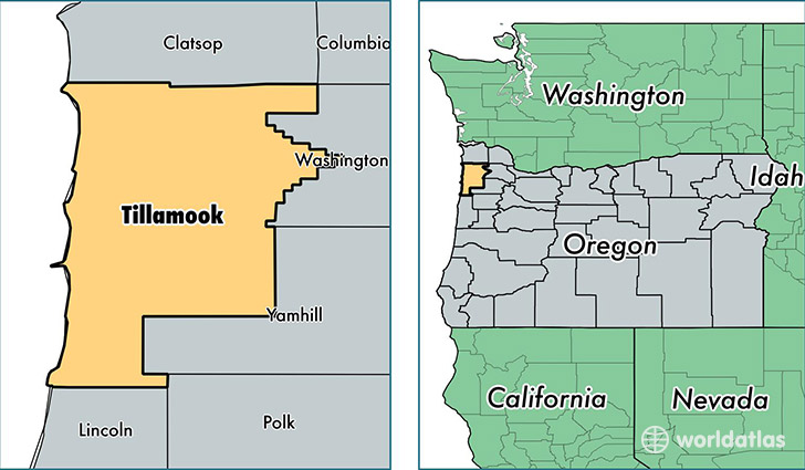
Tillamook County is a county equivalent area found in Oregon, USA. The county government of Tillamook is found in the county seat of Tillamook.
With a total 3,451.85 sq. km of land and water area, Tillamook County, Oregon is the 509th largest county equivalent area in the United States. Home to 25,342 people, Tillamook County has a total 18374 households earning 43676 on average per year.
Tillamook County, Oregon - Quick Facts
| FIPS Code | 41057 |
| Area Codes | 503 |
| Time Zone | PST |
| Major Cities | Tillamook (population: 13,159), Nehalem (population: 2,502), Cloverdale (population: 1,903), Rockaway Beach (population: 1,763), Bay City (population: 1,532), Pacific City (population: 862), Garibaldi (population: 776), Manzanita (population: 711), Neskowin (population: 574), Beaver (population: 490) |
| Land Area | 9,785 sq miles |
| Water Area | 1,103 sq miles |
| Household Income | $43,676 |
| Housing Units | 18,374 |
| Median Home Value | $226,500 |
| High School Grads | 88% of population |
| Holders of Bachelors Degrees | 21% of population |
| Retail Spending | $8,988 per capita |
| Food & Accomodation Sales | $53,673 per capita |
This page was last updated on June 30, 2016.