Where is Lorain County, Ohio?
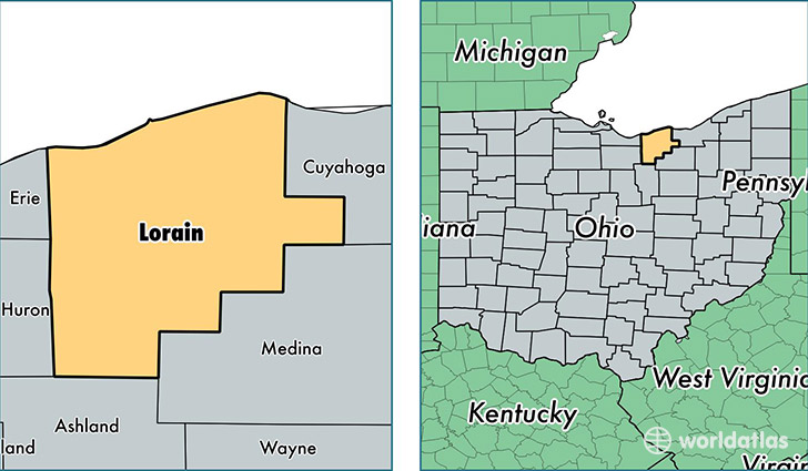
Lorain County is a county equivalent area found in Ohio, USA. The county government of Lorain is found in the county seat of Elyria.
With a total 2,391.45 sq. km of land and water area, Lorain County, Ohio is the 883rd largest county equivalent area in the United States. Home to 304,216 people, Lorain County has a total 127951 households earning 51816 on average per year.
Lorain County, Ohio - Quick Facts
| FIPS Code | 39093 |
| Area Codes | 440 |
| Time Zone | EST |
| Major Cities | Lorain (population: 67,979), Elyria (population: 64,289), North Ridgeville (population: 29,574), Avon Lake (population: 22,590), Avon (population: 21,201), Amherst (population: 20,777), Grafton (population: 15,957), Sheffield Lake (population: 12,596), Oberlin (population: 11,683), Wellington (population: 11,508) |
| Land Area | 117,458 sq miles |
| Water Area | 491 sq miles |
| Household Income | $51,816 |
| Housing Units | 127,951 |
| Median Home Value | $140,700 |
| High School Grads | 89% of population |
| Holders of Bachelors Degrees | 22% of population |
| Retail Spending | $10,646 per capita |
| Food & Accomodation Sales | $326,569 per capita |
This page was last updated on June 30, 2016.