Where is Ashland County, Ohio?
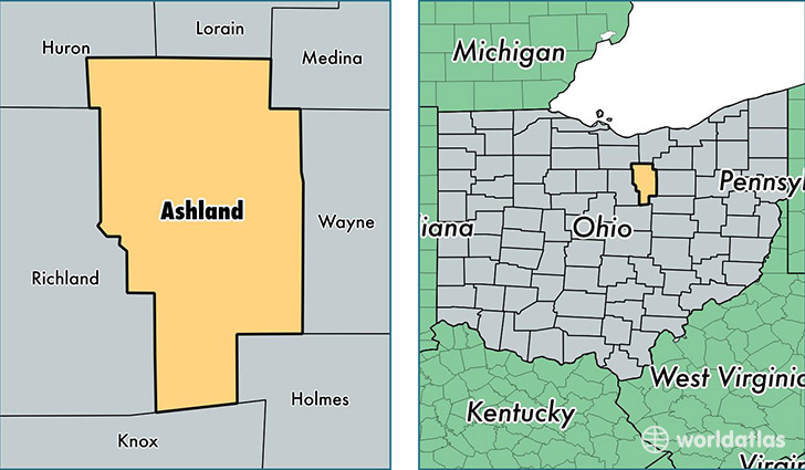
Ashland County is a county equivalent area found in Ohio, USA. The county government of Ashland is found in the county seat of Ashland.
With a total 1,105.41 sq. km of land and water area, Ashland County, Ohio is the 2458th largest county equivalent area in the United States. Home to 53,035 people, Ashland County has a total 22014 households earning 46548 on average per year.
Ashland County, Ohio - Quick Facts
| FIPS Code | 39005 |
| Area Codes | 419 |
| Time Zone | EST |
| Major Cities | Ashland (population: 32,232), Loudonville (population: 5,429), Perrysville (population: 3,185), Jeromesville (population: 2,890), Sullivan (population: 2,855), Polk (population: 2,251), Nova (population: 1,731), Savannah (population: 392), Hayesville (population: 265) |
| Land Area | 20,477 sq miles |
| Water Area | 423 sq miles |
| Household Income | $46,548 |
| Housing Units | 22,014 |
| Median Home Value | $122,100 |
| High School Grads | 87% of population |
| Holders of Bachelors Degrees | 19% of population |
| Retail Spending | $7,638 per capita |
| Food & Accomodation Sales | $55,604 per capita |
This page was last updated on June 30, 2016.