Where is Knox County, Ohio?
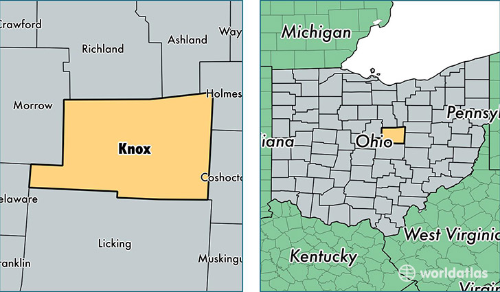
Knox County is a county equivalent area found in Ohio, USA. The county government of Knox is found in the county seat of Mount Vernon.
With a total 1,371.77 sq. km of land and water area, Knox County, Ohio is the 2073rd largest county equivalent area in the United States. Home to 61,167 people, Knox County has a total 25297 households earning 49750 on average per year.
Knox County, Ohio - Quick Facts
| FIPS Code | 39083 |
| Area Codes | 740 |
| Time Zone | EST |
| Major Cities | Mount Vernon (population: 28,947), Fredericktown (population: 8,680), Howard (population: 7,510), Centerburg (population: 7,505), Gambier (population: 4,146), Danville (population: 3,619), Martinsburg (population: 533), Bladensburg (population: 173) |
| Land Area | 23,617 sq miles |
| Water Area | 525 sq miles |
| Household Income | $49,750 |
| Housing Units | 25,297 |
| Median Home Value | $133,500 |
| High School Grads | 88% of population |
| Holders of Bachelors Degrees | 21% of population |
| Retail Spending | $9,189 per capita |
| Food & Accomodation Sales | $53,029 per capita |
| Universities and Colleges | Kenyon College |
This page was last updated on June 30, 2016.