Where is Richland County, Ohio?
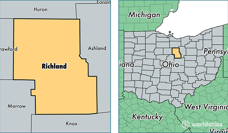
Richland County is a county equivalent area found in Ohio, USA. The county government of Richland is found in the county seat of Mansfield.
With a total 1,295.19 sq. km of land and water area, Richland County, Ohio is the 2181st largest county equivalent area in the United States. Home to 121,942 people, Richland County has a total 54174 households earning 41835 on average per year.
Richland County, Ohio - Quick Facts
| FIPS Code | 39139 |
| Area Codes | 419 |
| Time Zone | EST |
| Major Cities | Mansfield (population: 91,664), Shelby (population: 13,617), Bellville (population: 7,951), Plymouth (population: 3,398), Butler (population: 3,204), Shiloh (population: 3,102), Lucas (population: 2,352) |
| Land Area | 47,082 sq miles |
| Water Area | 495 sq miles |
| Household Income | $41,835 |
| Housing Units | 54,174 |
| Median Home Value | $103,500 |
| High School Grads | 86% of population |
| Holders of Bachelors Degrees | 15% of population |
| Retail Spending | $11,818 per capita |
| Food & Accomodation Sales | $178,875 per capita |
This page was last updated on June 30, 2016.