Where is Mason County, Michigan?
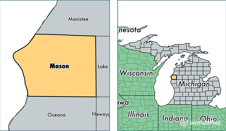
Mason County is a county equivalent area found in Michigan, USA. The county government of Mason is found in the county seat of Ludington.
With a total 3,217.91 sq. km of land and water area, Mason County, Michigan is the 558th largest county equivalent area in the United States. Home to 28,824 people, Mason County has a total 17208 households earning 41136 on average per year.
Mason County, Michigan - Quick Facts
| FIPS Code | 26105 |
| Area Codes | 231 |
| Time Zone | EST |
| Major Cities | Ludington (population: 16,860), Scottville (population: 4,570), Fountain (population: 2,003), Custer (population: 1,557), Free Soil (population: 1,536), Branch (population: 1,376), Walhalla (population: 118) |
| Land Area | 11,129 sq miles |
| Water Area | 495 sq miles |
| Household Income | $41,136 |
| Housing Units | 17,208 |
| Median Home Value | $117,000 |
| High School Grads | 90% of population |
| Holders of Bachelors Degrees | 20% of population |
| Retail Spending | $11,540 per capita |
| Food & Accomodation Sales | $39,650 per capita |
| Universities and Colleges | West Shore Community College |
This page was last updated on June 30, 2016.