Where is Lake County, Michigan?
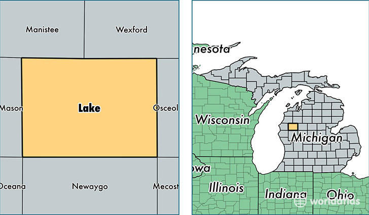
Lake County is a county equivalent area found in Michigan, USA. The county government of Lake is found in the county seat of Baldwin.
With a total 1,487.38 sq. km of land and water area, Lake County, Michigan is the 1889th largest county equivalent area in the United States. Home to 11,341 people, Lake County has a total 14824 households earning 29379 on average per year.
Lake County, Michigan - Quick Facts
| FIPS Code | 26085 |
| Area Codes | 231 |
| Time Zone | EST |
| Major Cities | Baldwin (population: 4,312), Irons (population: 2,025), Luther (population: 1,528), Chase (population: 1,159), Idlewild (population: 839) |
| Land Area | 4,379 sq miles |
| Water Area | 568 sq miles |
| Household Income | $29,379 |
| Housing Units | 14,824 |
| Median Home Value | $79,700 |
| High School Grads | 80% of population |
| Holders of Bachelors Degrees | 8% of population |
| Retail Spending | $4,801 per capita |
| Food & Accomodation Sales | $7,788 per capita |
This page was last updated on June 30, 2016.