Where is Muskegon County, Michigan?
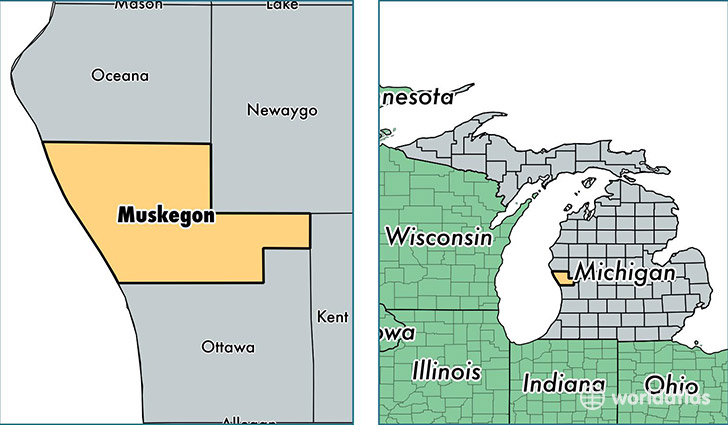
Muskegon County is a county equivalent area found in Michigan, USA. The county government of Muskegon is found in the county seat of Muskegon.
With a total 3,781.45 sq. km of land and water area, Muskegon County, Michigan is the 461st largest county equivalent area in the United States. Home to 172,344 people, Muskegon County has a total 73066 households earning 40979 on average per year.
Muskegon County, Michigan - Quick Facts
| FIPS Code | 26121 |
| Area Codes | 231 |
| Time Zone | EST |
| Major Cities | Muskegon (population: 127,212), Twin Lake (population: 10,442), Whitehall (population: 8,824), Montague (population: 6,823), Fruitport (population: 6,422), Ravenna (population: 5,948), Holton (population: 3,618), Casnovia (population: 1,395), Bailey (population: 1,115) |
| Land Area | 66,542 sq miles |
| Water Area | 500 sq miles |
| Household Income | $40,979 |
| Housing Units | 73,066 |
| Median Home Value | $100,900 |
| High School Grads | 88% of population |
| Holders of Bachelors Degrees | 17% of population |
| Retail Spending | $9,507 per capita |
| Food & Accomodation Sales | $220,979 per capita |
This page was last updated on June 30, 2016.