Where is Clare County, Michigan?
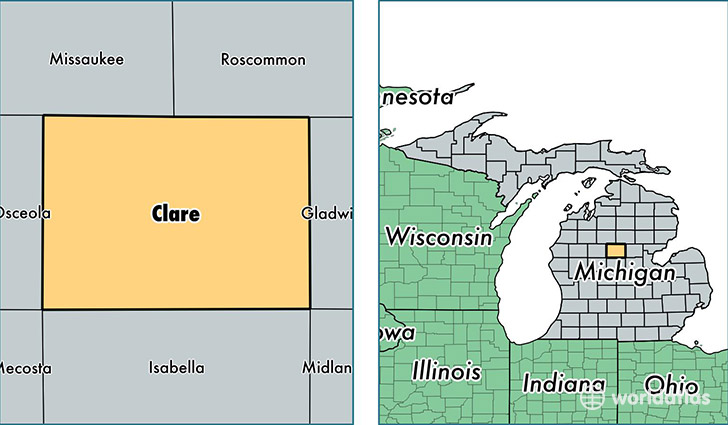
Clare County is a county equivalent area found in Michigan, USA. The county government of Clare is found in the county seat of Harrison.
With a total 1,490.12 sq. km of land and water area, Clare County, Michigan is the 1874th largest county equivalent area in the United States. Home to 30,652 people, Clare County has a total 23060 households earning 32668 on average per year.
Clare County, Michigan - Quick Facts
| FIPS Code | 26035 |
| Area Codes | 989 |
| Time Zone | EST |
| Major Cities | Harrison (population: 13,078), Clare (population: 8,826), Farwell (population: 6,466), Lake (population: 5,107), Lake George (population: 208) |
| Land Area | 11,835 sq miles |
| Water Area | 564 sq miles |
| Household Income | $32,668 |
| Housing Units | 23,060 |
| Median Home Value | $80,000 |
| High School Grads | 84% of population |
| Holders of Bachelors Degrees | 11% of population |
| Retail Spending | $8,021 per capita |
| Food & Accomodation Sales | $28,898 per capita |
This page was last updated on June 30, 2016.