Where is Osceola County, Michigan?
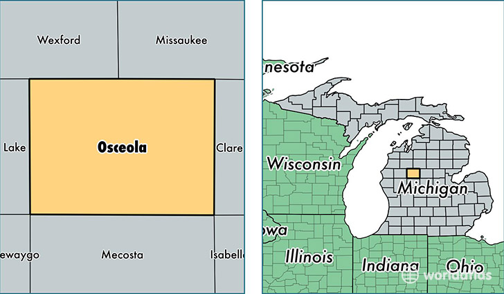
Osceola County is a county equivalent area found in Michigan, USA. The county government of Osceola is found in the county seat of Reed City.
With a total 1,484.31 sq. km of land and water area, Osceola County, Michigan is the 1902nd largest county equivalent area in the United States. Home to 23,169 people, Osceola County has a total 13468 households earning 37788 on average per year.
Osceola County, Michigan - Quick Facts
| FIPS Code | 26133 |
| Area Codes | 231 |
| Time Zone | EST |
| Major Cities | Reed City (population: 6,566), Evart (population: 6,305), Marion (population: 4,374), Leroy (population: 3,140), Tustin (population: 2,675), Hersey (population: 2,542), Sears (population: 1,417) |
| Land Area | 8,946 sq miles |
| Water Area | 566 sq miles |
| Household Income | $37,788 |
| Housing Units | 13,468 |
| Median Home Value | $90,500 |
| High School Grads | 87% of population |
| Holders of Bachelors Degrees | 13% of population |
| Retail Spending | $6,562 per capita |
| Food & Accomodation Sales | $19,225 per capita |
This page was last updated on June 30, 2016.