Where is Saginaw County, Michigan?
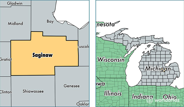
Saginaw County is a county equivalent area found in Michigan, USA. The county government of Saginaw is found in the county seat of Saginaw.
With a total 2,113.34 sq. km of land and water area, Saginaw County, Michigan is the 1140th largest county equivalent area in the United States. Home to 195,012 people, Saginaw County has a total 86520 households earning 42331 on average per year.
Saginaw County, Michigan - Quick Facts
| FIPS Code | 26145 |
| Area Codes | 989 |
| Time Zone | EST |
| Major Cities | Saginaw (population: 134,433), Freeland (population: 13,878), Birch Run (population: 9,382), Chesaning (population: 7,444), Frankenmuth (population: 7,375), Saint Charles (population: 6,401), Hemlock (population: 6,028), Merrill (population: 3,332), Bridgeport (population: 3,094), Burt (population: 2,955) |
| Land Area | 75,295 sq miles |
| Water Area | 800 sq miles |
| Household Income | $42,331 |
| Housing Units | 86,520 |
| Median Home Value | $97,800 |
| High School Grads | 87% of population |
| Holders of Bachelors Degrees | 19% of population |
| Retail Spending | $12,546 per capita |
| Food & Accomodation Sales | $337,257 per capita |
| Universities and Colleges | Saginaw Valley State University |
This page was last updated on June 30, 2016.