Where is Missaukee County, Michigan?
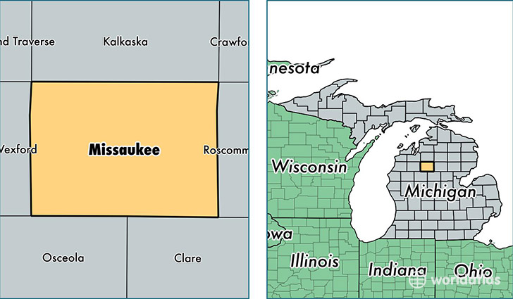
Missaukee County is a county equivalent area found in Michigan, USA. The county government of Missaukee is found in the county seat of Lake City.
With a total 1,486.21 sq. km of land and water area, Missaukee County, Michigan is the 1893rd largest county equivalent area in the United States. Home to 15,037 people, Missaukee County has a total 9027 households earning 41061 on average per year.
Missaukee County, Michigan - Quick Facts
| FIPS Code | 26113 |
| Area Codes | 231 |
| Time Zone | EST |
| Major Cities | Lake City (population: 7,758), McBain (population: 3,728), Falmouth (population: 1,139), Merritt (population: 555) |
| Land Area | 5,806 sq miles |
| Water Area | 565 sq miles |
| Household Income | $41,061 |
| Housing Units | 9,027 |
| Median Home Value | $99,400 |
| High School Grads | 86% of population |
| Holders of Bachelors Degrees | 13% of population |
| Retail Spending | $6,143 per capita |
| Food & Accomodation Sales | $9,446 per capita |
This page was last updated on June 30, 2016.