Where is Roscommon County, Michigan?
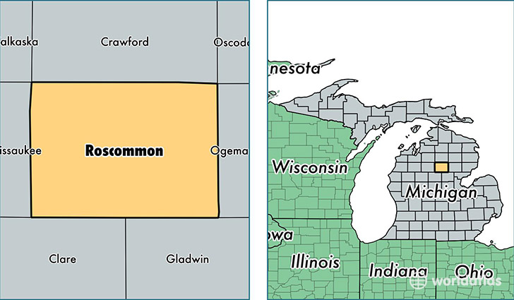
Roscommon County is a county equivalent area found in Michigan, USA. The county government of Roscommon is found in the county seat of Roscommon.
With a total 1,502.27 sq. km of land and water area, Roscommon County, Michigan is the 1833rd largest county equivalent area in the United States. Home to 23,955 people, Roscommon County has a total 24297 households earning 33334 on average per year.
Roscommon County, Michigan - Quick Facts
| FIPS Code | 26143 |
| Area Codes | 989 |
| Time Zone | EST |
| Major Cities | Roscommon (population: 10,175), Houghton Lake (population: 7,743), Prudenville (population: 4,624), Saint Helen (population: 4,001), Higgins Lake (population: 139), Houghton Lake Heights (population: 68) |
| Land Area | 9,249 sq miles |
| Water Area | 520 sq miles |
| Household Income | $33,334 |
| Housing Units | 24,297 |
| Median Home Value | $92,000 |
| High School Grads | 85% of population |
| Holders of Bachelors Degrees | 13% of population |
| Retail Spending | $13,327 per capita |
| Food & Accomodation Sales | $37,284 per capita |
This page was last updated on June 30, 2016.