Where is Grayson County, Kentucky?
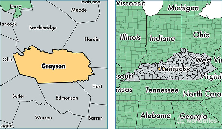
Grayson County is a county equivalent area found in Kentucky, USA. The county government of Grayson is found in the county seat of Leitchfield.
With a total 1,323.56 sq. km of land and water area, Grayson County, Kentucky is the 2132nd largest county equivalent area in the United States. Home to 26,194 people, Grayson County has a total 13430 households earning 32399 on average per year.
Grayson County, Kentucky - Quick Facts
| FIPS Code | 21085 |
| Area Codes | 270 |
| Time Zone | CST |
| Major Cities | Leitchfield (population: 15,469), Clarkson (population: 4,706), Caneyville (population: 4,014), Big Clifty (population: 1,873), Millwood (population: 425) |
| Land Area | 10,114 sq miles |
| Water Area | 498 sq miles |
| Household Income | $32,399 |
| Housing Units | 13,430 |
| Median Home Value | $87,700 |
| High School Grads | 76% of population |
| Holders of Bachelors Degrees | 10% of population |
| Retail Spending | $9,281 per capita |
| Food & Accomodation Sales | $16,243 per capita |
This page was last updated on June 30, 2016.