Where is Hart County, Kentucky?
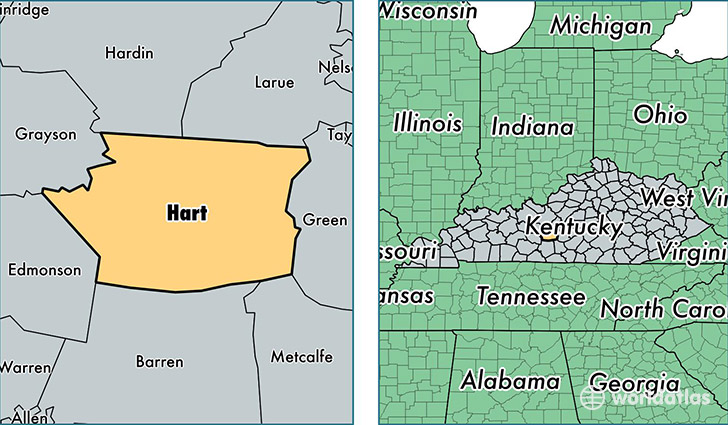
Hart County is a county equivalent area found in Kentucky, USA. The county government of Hart is found in the county seat of Munfordville.
With a total 1,082.23 sq. km of land and water area, Hart County, Kentucky is the 2498th largest county equivalent area in the United States. Home to 18,597 people, Hart County has a total 8636 households earning 33408 on average per year.
Hart County, Kentucky - Quick Facts
| FIPS Code | 21099 |
| Area Codes | 270 |
| Time Zone | CST |
| Major Cities | Munfordville (population: 5,893), Horse Cave (population: 5,287), Hardyville (population: 1,905), Bonnieville (population: 1,656), Cub Run (population: 1,625), Canmer (population: 720) |
| Land Area | 7,180 sq miles |
| Water Area | 412 sq miles |
| Household Income | $33,408 |
| Housing Units | 8,636 |
| Median Home Value | $78,900 |
| High School Grads | 71% of population |
| Holders of Bachelors Degrees | 9% of population |
| Retail Spending | $5,074 per capita |
| Food & Accomodation Sales | $11,506 per capita |
This page was last updated on June 30, 2016.