Where is Breckinridge County, Kentucky?
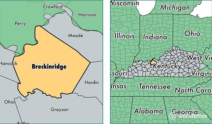
Breckinridge County is a county equivalent area found in Kentucky, USA. The county government of Breckinridge is found in the county seat of Hardinsburg.
With a total 1,516.75 sq. km of land and water area, Breckinridge County, Kentucky is the 1800th largest county equivalent area in the United States. Home to 19,888 people, Breckinridge County has a total 10544 households earning 38907 on average per year.
Breckinridge County, Kentucky - Quick Facts
| FIPS Code | 21027 |
| Area Codes | 270 |
| Time Zone | CST |
| Major Cities | Hardinsburg (population: 5,942), Irvington (population: 3,747), Harned (population: 1,867), Falls of Rough (population: 1,807), Cloverport (population: 1,683), Webster (population: 940), Hudson (population: 908), Garfield (population: 787), Custer (population: 727), McDaniels (population: 604) |
| Land Area | 7,679 sq miles |
| Water Area | 567 sq miles |
| Household Income | $38,907 |
| Housing Units | 10,544 |
| Median Home Value | $82,700 |
| High School Grads | 77% of population |
| Holders of Bachelors Degrees | 9% of population |
| Retail Spending | $5,968 per capita |
| Food & Accomodation Sales | $7,882 per capita |
This page was last updated on June 30, 2016.