Where is Edmonson County, Kentucky?
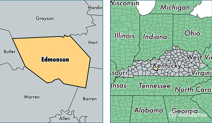
Edmonson County is a county equivalent area found in Kentucky, USA. The county government of Edmonson is found in the county seat of Brownsville.
With a total 797.73 sq. km of land and water area, Edmonson County, Kentucky is the 2831st largest county equivalent area in the United States. Home to 12,013 people, Edmonson County has a total 6405 households earning 37646 on average per year.
Edmonson County, Kentucky offers the following attraction to visitors: Mammoth Cave NP
Edmonson County, Kentucky - Quick Facts
| FIPS Code | 21061 |
| Area Codes | 270 |
| Time Zone | CST |
| Major Cities | Brownsville (population: 4,204), Mammoth Cave (population: 1,271), Bee Spring (population: 1,198), Sweeden (population: 372), Rocky Hill (population: 55) |
| Land Area | 4,638 sq miles |
| Water Area | 303 sq miles |
| Household Income | $37,646 |
| Housing Units | 6,405 |
| Median Home Value | $90,600 |
| High School Grads | 79% of population |
| Holders of Bachelors Degrees | 10% of population |
| Retail Spending | $2,723 per capita |
| Food & Accomodation Sales | $6,325 per capita |
This page was last updated on June 30, 2016.