Where is Butler County, Kentucky?
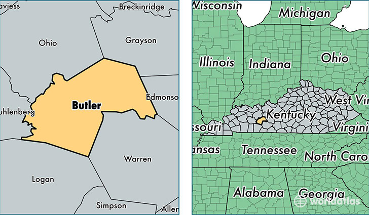
Butler County is a county equivalent area found in Kentucky, USA. The county government of Butler is found in the county seat of Morgantown.
With a total 1,117.51 sq. km of land and water area, Butler County, Kentucky is the 2437th largest county equivalent area in the United States. Home to 12,875 people, Butler County has a total 5828 households earning 35430 on average per year.
Butler County, Kentucky - Quick Facts
| FIPS Code | 21031 |
| Area Codes | 270 |
| Time Zone | CST |
| Major Cities | Morgantown (population: 10,727), Roundhill (population: 887), Rochester (population: 448) |
| Land Area | 4,971 sq miles |
| Water Area | 426 sq miles |
| Household Income | $35,430 |
| Housing Units | 5,828 |
| Median Home Value | $87,300 |
| High School Grads | 76% of population |
| Holders of Bachelors Degrees | 8% of population |
| Retail Spending | $4,362 per capita |
| Food & Accomodation Sales | $5,358 per capita |
This page was last updated on June 30, 2016.