Where is Oconee County, Georgia?
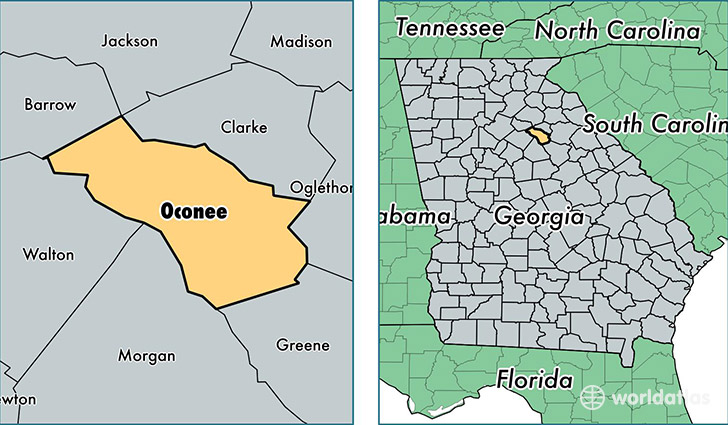
Oconee County is a county equivalent area found in Georgia, USA. The county government of Oconee is found in the county seat of Watkinsville.
With a total 482.7 sq. km of land and water area, Oconee County, Georgia is the 3043rd largest county equivalent area in the United States. Home to 35,093 people, Oconee County has a total 12628 households earning 75004 on average per year.
Oconee County, Georgia - Quick Facts
| FIPS Code | 13219 |
| Area Codes | 706,770 |
| Time Zone | EST |
| Major Cities | Watkinsville (population: 17,483), Bogart (population: 10,609), Bishop (population: 5,215), Farmington (population: 50) |
| Land Area | 13,549 sq miles |
| Water Area | 184 sq miles |
| Household Income | $75,004 |
| Housing Units | 12,628 |
| Median Home Value | $238,200 |
| High School Grads | 91% of population |
| Holders of Bachelors Degrees | 43% of population |
| Retail Spending | $10,357 per capita |
| Food & Accomodation Sales | $38,870 per capita |
This page was last updated on June 30, 2016.