Where is Barrow County, Georgia?
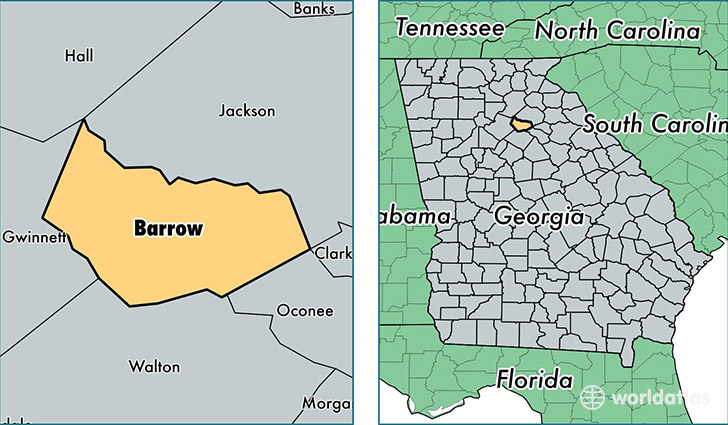
Barrow County is a county equivalent area found in Georgia, USA. The county government of Barrow is found in the county seat of Winder.
With a total 421.99 sq. km of land and water area, Barrow County, Georgia is the 3064th largest county equivalent area in the United States. Home to 73,240 people, Barrow County has a total 26443 households earning 53274 on average per year.
Barrow County, Georgia - Quick Facts
| FIPS Code | 13013 |
| Area Codes | 770 |
| Time Zone | EST |
| Major Cities | Winder (population: 38,276), Auburn (population: 14,701), Bethlehem (population: 12,696), Statham (population: 8,775) |
| Land Area | 28,278 sq miles |
| Water Area | 160 sq miles |
| Household Income | $53,274 |
| Housing Units | 26,443 |
| Median Home Value | $127,000 |
| High School Grads | 82% of population |
| Holders of Bachelors Degrees | 17% of population |
| Retail Spending | $9,839 per capita |
| Food & Accomodation Sales | $125,078 per capita |
This page was last updated on June 30, 2016.