Where is Oglethorpe County, Georgia?
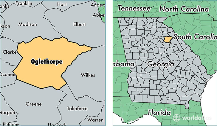
Oglethorpe County is a county equivalent area found in Georgia, USA. The county government of Oglethorpe is found in the county seat of Lexington.
With a total 1,144.87 sq. km of land and water area, Oglethorpe County, Georgia is the 2380th largest county equivalent area in the United States. Home to 14,673 people, Oglethorpe County has a total 6436 households earning 45729 on average per year.
Oglethorpe County, Georgia - Quick Facts
| FIPS Code | 13221 |
| Area Codes | 706 |
| Time Zone | EST |
| Major Cities | Lexington (population: 2,931), Crawford (population: 2,392), Carlton (population: 2,241), Arnoldsville (population: 1,416), Stephens (population: 1,015), Maxeys (population: 54) |
| Land Area | 5,665 sq miles |
| Water Area | 439 sq miles |
| Household Income | $45,729 |
| Housing Units | 6,436 |
| Median Home Value | $120,800 |
| High School Grads | 79% of population |
| Holders of Bachelors Degrees | 18% of population |
| Retail Spending | $4,988 per capita |
| Food & Accomodation Sales | $1,816 per capita |
This page was last updated on June 30, 2016.