Where is Greene County, Georgia?
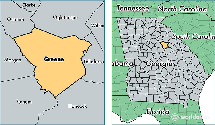
Greene County is a county equivalent area found in Georgia, USA. The county government of Greene is found in the county seat of Greensboro.
With a total 1,052.08 sq. km of land and water area, Greene County, Georgia is the 2570th largest county equivalent area in the United States. Home to 16,490 people, Greene County has a total 8882 households earning 42565 on average per year.
Greene County, Georgia - Quick Facts
| FIPS Code | 13133 |
| Area Codes | 706 |
| Time Zone | EST |
| Major Cities | Greensboro (population: 11,068), Union Point (population: 3,328), White Plains (population: 1,297), Siloam (population: 80) |
| Land Area | 6,367 sq miles |
| Water Area | 387 sq miles |
| Household Income | $42,565 |
| Housing Units | 8,882 |
| Median Home Value | $145,200 |
| High School Grads | 79% of population |
| Holders of Bachelors Degrees | 21% of population |
| Retail Spending | $8,715 per capita |
| Food & Accomodation Sales | $60,642 per capita |
This page was last updated on June 30, 2016.