Where is Jackson County, Georgia?
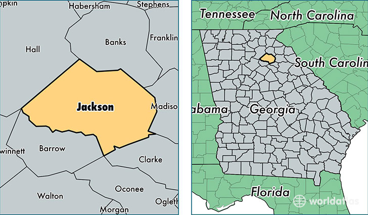
Jackson County is a county equivalent area found in Georgia, USA. The county government of Jackson is found in the county seat of Jefferson.
With a total 888.62 sq. km of land and water area, Jackson County, Georgia is the 2754th largest county equivalent area in the United States. Home to 61,870 people, Jackson County has a total 23510 households earning 53179 on average per year.
Jackson County, Georgia - Quick Facts
| FIPS Code | 13157 |
| Area Codes | 706 |
| Time Zone | EST |
| Major Cities | Jefferson (population: 22,531), Commerce (population: 17,653), Hoschton (population: 16,165), Braselton (population: 12,209), Athens (population: 11,144), Maysville (population: 5,449), Nicholson (population: 4,760), Pendergrass (population: 2,986), Talmo (population: 1,390) |
| Land Area | 23,888 sq miles |
| Water Area | 340 sq miles |
| Household Income | $53,179 |
| Housing Units | 23,510 |
| Median Home Value | $161,300 |
| High School Grads | 81% of population |
| Holders of Bachelors Degrees | 20% of population |
| Retail Spending | $9,365 per capita |
| Food & Accomodation Sales | $33,343 per capita |
This page was last updated on June 30, 2016.