Where is Walton County, Georgia?
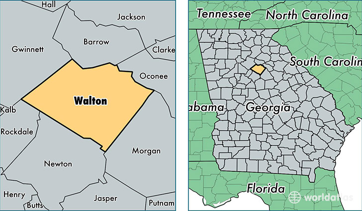
Walton County is a county equivalent area found in Georgia, USA. The county government of Walton is found in the county seat of Monroe.
With a total 854.7 sq. km of land and water area, Walton County, Georgia is the 2782nd largest county equivalent area in the United States. Home to 87,615 people, Walton County has a total 32306 households earning 52369 on average per year.
Walton County, Georgia - Quick Facts
| FIPS Code | 13297 |
| Area Codes | 770 |
| Time Zone | EST |
| Major Cities | Loganville (population: 61,039), Monroe (population: 39,647), Social Circle (population: 9,375), Good Hope (population: 1,824) |
| Land Area | 33,828 sq miles |
| Water Area | 326 sq miles |
| Household Income | $52,369 |
| Housing Units | 32,306 |
| Median Home Value | $157,100 |
| High School Grads | 83% of population |
| Holders of Bachelors Degrees | 18% of population |
| Retail Spending | $9,577 per capita |
| Food & Accomodation Sales | $58,350 per capita |
This page was last updated on June 30, 2016.