Where is Madison County, Georgia?
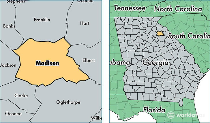
Madison County is a county equivalent area found in Georgia, USA. The county government of Madison is found in the county seat of Danielsville.
With a total 739.67 sq. km of land and water area, Madison County, Georgia is the 2876th largest county equivalent area in the United States. Home to 28,312 people, Madison County has a total 11635 households earning 42549 on average per year.
Madison County, Georgia - Quick Facts
| FIPS Code | 13195 |
| Area Codes | 706 |
| Time Zone | EST |
| Major Cities | Danielsville (population: 8,414), Hull (population: 6,899), Colbert (population: 6,492), Comer (population: 4,488) |
| Land Area | 10,931 sq miles |
| Water Area | 282 sq miles |
| Household Income | $42,549 |
| Housing Units | 11,635 |
| Median Home Value | $127,800 |
| High School Grads | 79% of population |
| Holders of Bachelors Degrees | 15% of population |
| Retail Spending | $4,291 per capita |
| Food & Accomodation Sales | $7,222 per capita |
This page was last updated on June 30, 2016.