Where is Gwinnett County, Georgia?
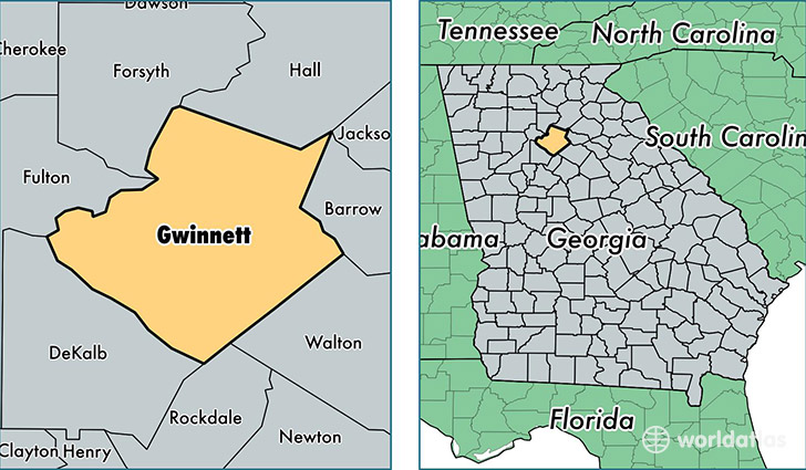
Gwinnett County is a county equivalent area found in Georgia, USA. The county government of Gwinnett is found in the county seat of Lawrenceville.
With a total 1,131.27 sq. km of land and water area, Gwinnett County, Georgia is the 2405th largest county equivalent area in the United States. Home to 877,922 people, Gwinnett County has a total 295139 households earning 60445 on average per year.
Gwinnett County, Georgia - Quick Facts
| FIPS Code | 13135 |
| Area Codes | 770 |
| Time Zone | EST |
| Major Cities | Lawrenceville (population: 239,302), Duluth (population: 109,113), Buford (population: 88,806), Norcross (population: 79,837), Snellville (population: 77,962), Suwanee (population: 68,043), Lilburn (population: 62,380), Dacula (population: 42,288), Peachtree Corners (population: 33,155), Grayson (population: 21,079) |
| Land Area | 338,967 sq miles |
| Water Area | 431 sq miles |
| Household Income | $60,445 |
| Housing Units | 295,139 |
| Median Home Value | $171,300 |
| High School Grads | 87% of population |
| Holders of Bachelors Degrees | 34% of population |
| Retail Spending | $17,939 per capita |
| Food & Accomodation Sales | $1,264,671 per capita |
| Universities and Colleges | Atlanta Institute of Music |
This page was last updated on June 30, 2016.