Where is DeKalb County, Georgia?
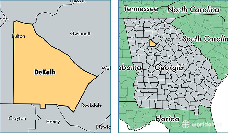
DeKalb County is a county equivalent area found in Georgia, USA. The county government of DeKalb is found in the county seat of Decatur.
With a total 702.25 sq. km of land and water area, DeKalb County, Georgia is the 2900th largest county equivalent area in the United States. Home to 722,161 people, DeKalb County has a total 305313 households earning 50856 on average per year.
DeKalb County, Georgia offers the following attraction to visitors: Fernbank Science Center
DeKalb County, Georgia - Quick Facts
| FIPS Code | 13089 |
| Area Codes | 404,770 |
| Time Zone | EST |
| Major Cities | Atlanta (population: 274,012), Decatur (population: 171,653), Stone Mountain (population: 115,136), Lithonia (population: 92,155), Ellenwood (population: 40,807), Tucker (population: 36,979), Clarkston (population: 22,471), Conley (population: 9,139), Avondale Estates (population: 5,989), Scottdale (population: 3,025) |
| Land Area | 278,828 sq miles |
| Water Area | 268 sq miles |
| Household Income | $50,856 |
| Housing Units | 305,313 |
| Median Home Value | $168,900 |
| High School Grads | 88% of population |
| Holders of Bachelors Degrees | 40% of population |
| Retail Spending | $10,867 per capita |
| Food & Accomodation Sales | $1,207,713 per capita |
| Universities and Colleges | Agnes Scott College, Interactive College of Technology, Emory University |
This page was last updated on June 30, 2016.