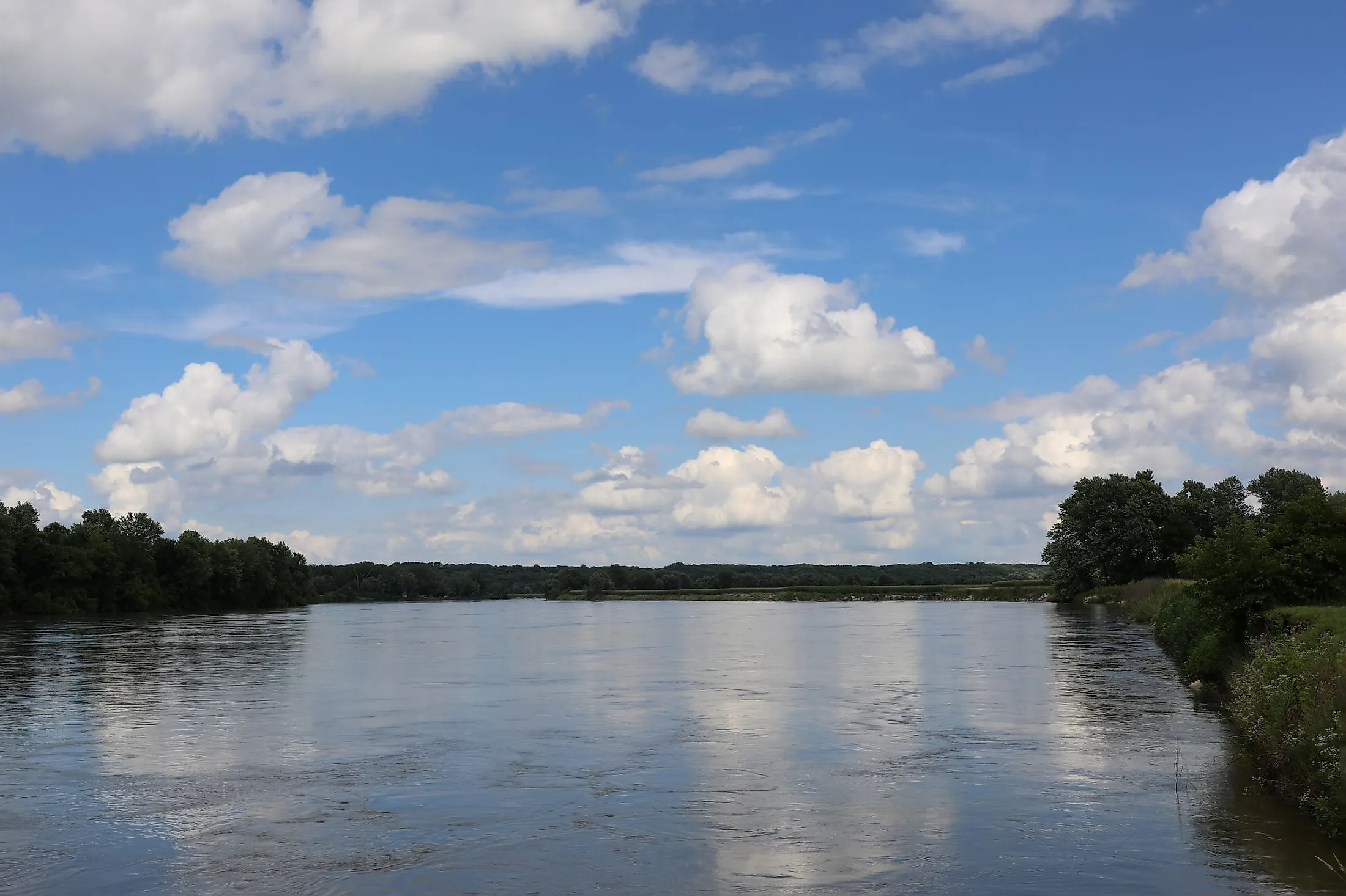
Des Moines River
The Des Moines River is the biggest river flowing across the state of Iowa and is a branch of the Mississippi River situated in the upper Midwestern United States. The river flows from the northwestern to southeastern Iowa, crossing from the glaciated savannas into the unglaciated hills around the capital city in the state's center, which has been named Des Moines after the river. The Des Moines River flows through a flat iron-shaped hill named the "Coteau des Prairies" by early French explorers and streams for 25 miles above its mouth, tributing mainly to the East Fork and the Raccoon Rivers. Besides, the Des Moines River serves as the boundary between the states of Iowa and Missouri and drains an area of 38,340 sq. km along its course.
The Course Of The Des Moines River

The Des Moines River originates in two forks. The river's West Fork, which is its main tribute, starts from Lake Shetek in Murray County, located in southwestern Minnesota, and flows in the south-southeast direction into Emmet County. The second fork is the East Fork, which rises out of Okamanpeedan Lake in northern Emmet County on the boundary between Iowa and Minnesota and flows southwards via Algona. Later on, the two forks merge at Frank Gotch State Park in Humboldt County, where the joint stream flows in the southward direction through Fort Dodge and flows through downtown Des Moines before directing southeastward through Ottumwa. The river forms approximately 20 miles of the margin between Iowa and Missouri before joining the Mississippi River from the northwest at Keokuk. Moreover, the river leads to two main reservoirs, where it receives the Boone River from the northeast and the Raccoon River from the west in the city of Des Moines before it's seized by the Saylorville Lake reservoir. On the other hand, the river impounds to generate the Lake Red Rock reservoir, which is located halfway below Saylorville and above Ottumwa. The River's Streamflow usually summits in April, when heavy rains cause the river to flood.
History Of The Des Moines River

The origin of the Des Moines River's name is unclear. It is believed that early French explorers named it La Rivière des Moines, which means River of the Monks, referring to ancient Trappist monks who constructed sheds near the mouth of the river at the Mississippi. The river area was initially occupied by the Oteo Tribe, who lived in Iowa in the 18th century, which made the French name it the "River of the Otoe." During the mid-19th century, the river embraced the main trading transportation by water across Iowa. However, river traffic began to decrease when the railroads were established in the 1860s. After reaching the flood stage in many locations, the Red Rock and Saylorville dams were built and used in 1958 for flood control.
Des Moines River Fauna And Flora

The river area is home to some animals that are common species in the region, including raccoons, rabbits, opossums, moles, mice, rats, beavers, squirrels, chipmunks, and foxes. Moreover, these smaller creatures are overseen in the food chain by larger mammals such as mountain lions, black bears, and coyotes. Besides, the river itself hosts many fish such as bigmouth buffalo, black bullhead, channel catfish, common carp, walleye, and many more. Regarding the river’s flora, the area around the river is mainly covered by prairies. Moreover, the rich soils around the river support several rare plants like blue cohosh, spikenard, and white baneberry, in addition to more common forest plants that flourish in the humid, lush environment like wild ginger bellwort and Virginia waterleaf.
Recreation At The Des Moines River
Racoon River Water Trail
Situated about 10 miles west of Des Moines, the trail is set in the middle of a wildlife sanctuary, overlooked by the Puckerbrush Boat Ramp, which is a famous fishing attraction with an access gate for beautiful canoes and kayaks floating. Tourists can visit the trails for a half-day adventure, where they can enjoy a leisurely trip to Boonville, about 8 miles downstream, by a kayak or a canoe.
Competine Creek
Competine creek is a 9.8-mile-long branch of the Des Moines River, merging with it at Lake Red Rock and rising to the southwest of Knoxville in Marion County. The creek is a famous fishing attraction featuring a variety of human consumable fishes.
Moreover, the river is surrounded by several parks like the Yellow Banks park, as well as Gray’s lake. All those attractions are considered water activities hubs, where many water sports can be experienced, in addition to the biking and hiking trails. Unfortunately, the river used to experience enormous floodings, like The Great Flood that happened in 1933 on the Des Moines River and its tributary, the Raccoon, which led to the evacuation of most of the city of Des Moines and neighboring communities. Today, despite the presence of dams, some flooding still happens here and there, but residents and officials can take more control by keeping an eye during the flooding season and taking the necessary precautions.


