7 Great Road Trips to Take in Missouri
Missouri sits near America’s center, where major routes and regions meet, making it perfect for road trips. The state’s varied landscapes and historic highways let you shift gears fast, from quiet backroads outside Cassville to classic Route 66 history in Springfield, then up to riverfront scenery and Mark Twain country in Hannibal. With thousands of miles of scenic pavement (and the occasional well-packed gravel stretch), Missouri delivers some of the Midwest’s most satisfying drives. Road-trippers can cruise from blue-spring forest byways to iconic stretches of Route 66 anchored by the Gateway Arch.
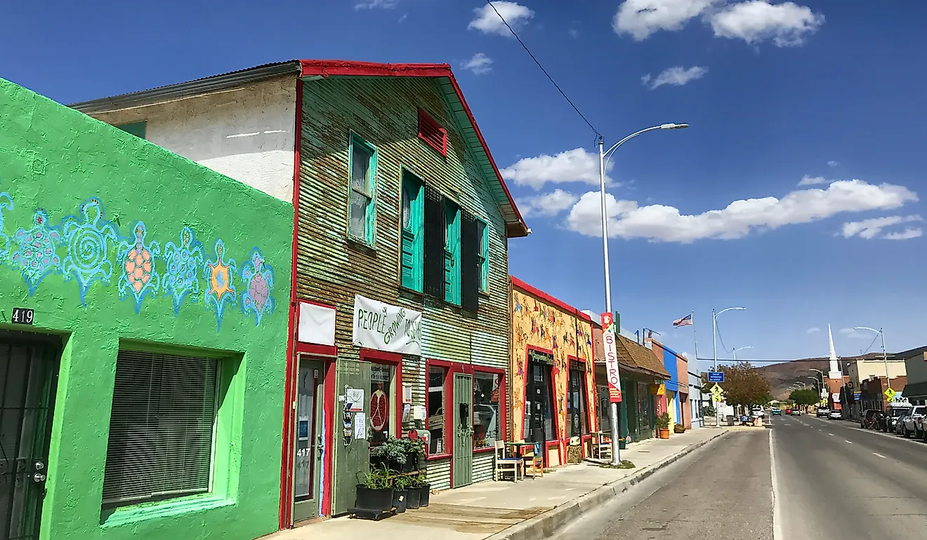
Sugar Camp National Forest Scenic Byway

For nature enthusiasts who want to take in Missouri’s scenery, the Sugar Camp National Forest Scenic Byway should be an easy option. This 28-mile-long route cuts through the outdoor backroads, full of verdant greenery. Only 20 miles of the route are paved, while the rest are gravel, but it's still manageable for most vehicles.
The byway itself starts south of Cassville, where visitors can fill up gas at the L & L pump on Route 112 or grab some food for the ride from Hunt Brothers Pizza (not many spots ahead). It continues south, entering protected land near Roaring River State Park, which should be your first stop. This park is perfect for a day out, with fishing on the Roaring River, many hiking trails, and even some deep blue springs. Even if you don’t want to spend too much time here, the drive along is full of beautiful Missouri views.

As you head back on the road, a few more stops like Camp Eagle Rock are within reach, but it depends on how much time you have to spare. After the unpaved section, the road joins back at Route 86, from where you can head out or back to Cassville. In total, it should take around two hours to complete without stops.
Route 66 (St. Louis To Waynesville)

Route 66 is one of America’s most iconic roads, traditionally an essential route for Native Americans and later an important highway. While prevalent throughout the country, the first marker for this iconic route was set in Springfield, Missouri, around 100 years ago. Today, it holds just as much historical value, making it the perfect trip for history enthusiasts. While the entire route is over 300 miles and can take days to complete, this entry will focus on the section from St. Louis to Waynesville. In total, this section is around 140 miles long, making it an ideal two to three-hour drive.

Trippers can start in the big city of St. Louis, beginning near the 1929 Chain of Rocks Bridge, a former Route 66 crossing of the Mississippi River, before heading southwest on I-44 (Route 66). Continue for about 30 miles to Pacific, where there is a McDonald’s just off the road and the B & H Market, perfect for getting some goodies. Later along in Cuba, you can find the Murals of Cuba on the old Route 66. This outdoor display features 14 murals depicting scenes from local and national history, including the visit of Harry S. Truman. Those with more time can continue onward to Springfield, a prominent town in Route 66 history.
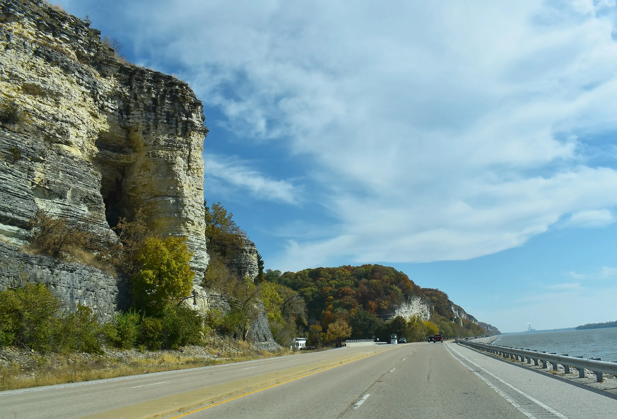
Great River Road

Similar to Route 66, the Great River Road spans multiple states. The collection of roads follows the Mississippi River, and Missouri is home to around 215 miles of the “Great River Road.” With endless river views, historic landmarks, and small-town charm, this is a trip anyone can enjoy. The journey begins south of Cape Girardeau, where travelers can stock up on gas, food, and supplies while enjoying views of the Mississippi River bluffs, then head north. The town also has plenty of landmarks, such as the Cape Girardeau Heritage Museum, where one can learn about local history through ship models and more, and the Bill Emerson Memorial Bridge, a cable-stayed span magnificently crossing the Mississippi River. As for supplies, many small towns like Festus and Imperial dot the route, with endless places to rest and eat, like The Pasta House Co. in Festus, all with Mississippi views to keep you company.

Stock up on supplies and continue north out of St. Louis following the scenic views near the Mississippi River. However, those interested in the historic side of Missouri can also stop by St. Charles for a bit to check out the city’s historic district. It is the largest nationally registered historic district in Missouri, with a casino, an art center, antique stores, and many 19th-century buildings along the Missouri River (Its mouth at the Mississippi). On the other hand, nature lovers can continue parallel to the Mississippi until they reach Hannibal, the end of the Great River Road in Missouri. Here, the Mark Twain Cave Complex is the perfect prize for your journey, offering visitors the chance to tour the electrically lit landmark and see unique formations such as stalagmites and stalactites.
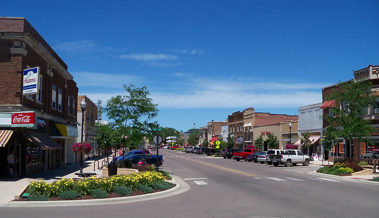
Old Trails Road

Road trippers can take a step back in time with a drive along the Old Trails Road. This State Byway in Missouri is a short 12-mile journey, but it ends with plenty of Civil War history. Those interested can start their day trip in Napoleon, heading east towards Lexington, with time to take in the scenery before delving into the past. The Missouri River runs along the left side of the road, and you can stop by to take some pictures or watch the water flow. The small town of Wellington is also en route, so you can always stop for some snacks at Route 24 Farm Store & Bakery.

After some relaxation, Lexington is not far away, and its brick-lined historic district offers endless landmarks and activities. Among the sites, the Battle of Lexington State Historic Site stands out, with around 90 acres of land preserved as the site of an American Civil War battle. The site offers a battlefield loop trail, tours of the battlegrounds, and more to recreate the 1861 event. Moreover, it is home to the Anderson House, a 1853 landmark that was vital during the battle. While other sites like the 1847 Lafayette County Courthouse and Lexington Historical Museum await, one can also end the day with some wine at the Fahrmeier Family Vineyard, a short drive back (Make sure you have a designated driver who is not drinking).
Blue Buck Knob National Forest Scenic Byway

The Blue Buck Knob National Forest Scenic Byway is a solid, no-frills Ozarks drive that works because of how the road moves through the land. The 24-mile route runs through the Mark Twain National Forest, following a mix of SR 181 and County Road AP, with steady curves, elevation changes, and long stretches of wooded hillsides broken up by open pasture.
Most drivers enter from either SR 14 near Cabool or from US 60/US 63 via SR 181, and the full drive takes about 45 minutes without stops. The pavement is fully maintained, but the road is narrow in places and best enjoyed at a slower pace. One of the few true pull-off stops is Noblett Lake Recreation Area, about midway through the byway. The 26-acre lake and its surroundings offer a good place to park, walk the short loop trail around the lake, or fish before getting back on the road. The drive also works well as a connector if you’re heading toward Peck Ranch Conservation Area or linking southern Ozark routes without using major highways.
Ozark Run Scenic Byway

If the previous road trip seemed interesting, you are sure to love a drive down the Ozark Run Scenic Byway. This natural road cuts through beautiful landscapes, including Washington State Park, the St. Francois Mountains, and many quaint communities like Arcadia. Those interested in a full-day out can head out on the 78-mile byway in Washington and Iron Counties. The route follows MO 21 and MO 8, starting at the Big River near Washington State Park. However, it is divided into two parts, the St. Francois Sprint and the Meramec Sprint. Both start near Potosi, the perfect place for an urban rest stop. Here, plenty of eateries, like The Hangout Bar and Grill, beckon travelers to stock up on energy before they head out. Or, grab a coffee from Midwest Press Coffee and begin south on MO 21.

The continuing route is part of the St. Francois Sprint section and boasts many parks, including Elephant Rocks State Park, around 30 miles in. One can park the car and spend time hiking one of the many trails, which showcase the park's outcroppings of Precambrian granite amidst the Saint Francois Mountains. Those with less time can stop earlier near Belleview, where a scenic lookout on the MO 21 is a time-saving way to take in the views. The route continues on through the Royal Gorge, a beautiful area, and ends near Lesterville, where visitors can end the road trip floating down the Black River.
On the other hand, the Meramec Sprint follows MO 8 from east to west with a unique set of landmarks. It drives through the Washington State Park’s greenery for the first few miles, with many small creeks and rivers to add to the views. The route then enters the Mark Twain National Forest, crossing the Ozark Trail, so hikers will have no trouble finding routes to stretch their legs. Whether you want to try the entire byway or a part of it, this scenic route has endless outdoor activities, views, and rest stops.
Glade Top National Forest Scenic Byway
Those looking for a shorter yet equally scenic experience can opt for the Glade Top National Forest Scenic Byway instead. This route, located in the Mark Twain National Forest, offers abundant flora and fauna, making it ideal to stop wherever you can. The entire byway is just 23 miles long, making it less than an hour’s trip. The gravel road starts south of Ava, Missouri, primarily following Forest Roads 147 and 149. The small town is a great refueling spot, as you won’t find many amenities on the drive.
Once in the Mark Twain National Forest, Mother Nature’s charm is abundant, and as the name suggests, glades are all around. These areas of thin soil boast many flowers, including the aromatic aster, silky aster, Missouri black-eyed Susan, and the purple coneflower. There are also seven overlook pull-outs, where one can stop to stretch their legs in the endless national forest. However, be wary of your surroundings as deer, coyotes, and bobcats call the area home.
Drive Through Missouri’s Endless Charm
These seven road trips are ideal for people who want to experience Missouri’s diverse aspects. Those interested in history can take out a day to explore Route 66, while nature lovers are flush for choice with options like the Great River Road and the Ozark Run Scenic Byway. Moreover, most routes have plenty of small towns and cities where one can stop for a break, refuel their vehicle and belly, making for a fun drive in the state.


.jpg)