Maps of Marshall Islands
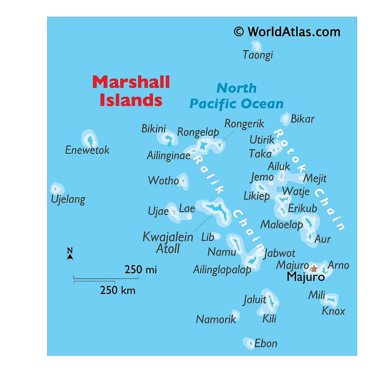
The Marshall Islands, an independent country associated with the United States, lies in the central Pacific Ocean, northeast of Papua New Guinea and southeast of the Federated States of Micronesia. Covering a total area of approximately 181 km2 (about 70 mi2), the country consists of two parallel chains of coral atolls: Ratak (Sunrise) and Ralik (Sunset). Otherwise, the geography is mostly flat which is common for island countries, along with its tropical climate which endures around two typhoons per year. Last, nuclear testing in the mid-20th century has had extreme effects on the islands.Nuclear Testing: The impact of nuclear testing on the geography of the Marshall Islands has been significant. Between 1946 and 1958, the United States conducted 67 nuclear tests in the region, including on Bikini and Enewetak atolls. These tests devastated the local environment, leaving craters and causing long-lasting radioactive contamination. The geography of these atolls underwent irreversible alteration, including the vaporization of entire islands. The residual radiation continues to pose a risk to human and ecological health, restricting the repopulation and normal agricultural use of these atolls.
The Ratak Chain stretches from the northeastern part of the country to the central region. Major atolls in this chain include Majuro, the capital and the largest atoll, and Kwajalein, the second largest. Majuro serves as the political and economic center of the Marshall Islands, hosting the government's administrative offices, schools, and major businesses. Unlike other atolls, Majuro boasts a natural lagoon that provides a port suitable for large ocean-going vessels. Kwajalein Atoll, on the other hand, houses a U.S. military base and serves as a significant location for missile testing. The geography of the Ratak Chain generally comprises narrow land masses, not exceeding a mile in width, surrounded by coral reefs.
The Ralik Chain, to the west of Ratak, also features narrow strips of land with surrounding coral reefs but tends to be less populated and developed. Ebon Atoll, in the southern part of the Ralik Chain, is noteworthy for its abundant marine life and untouched natural environment. Maloelap and Ailuk are other significant atolls in this chain, primarily engaged in subsistence agriculture and fishing. The isolation of these atolls contributes to their relative underdevelopment compared to the atolls in the Ratak Chain.
Bodies of Water: Besides the Pacific Ocean, there are a few small, shallow lakes and ponds, particularly in the atolls with larger land masses. These bodies of water are often brackish and have limited ecological significance. The country's coral reefs, however, play a crucial role in supporting marine life and providing natural barriers against oceanic swells and storms.
Political Map of Marshall Islands
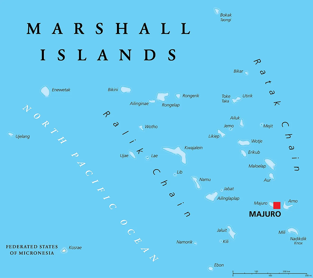
Marshall Islands (officially, the Republic of the Marshall Islands) is divided into 24 municipalities/electoral districts which correspond to the inhabited islands/atolls. These municipalities/electoral districts are: Ailinglaplap, Ailuk, Arno, Aur, Ebon, Enewetak, Jabat, Jaluit, Kii, Kwajalein, Lae, Lib, Likiep, Majuro, Maloelap, Mejit, Mili, Namdrik, Namu, Rongelap, Ujae, Utirik, Wotho and Wotje.
Marshall Islands is a sovereign Micronesian island country and an associated state of the United States. Covering a total land area of only 180 sq.km, Marshall Islands consist of 29 low-lying coral atolls comprising 1,156 individual islands and islets; scattered over 1,900,000 sq.km area in the central Pacific Ocean. These atolls and islands form two parallel chains referred to as the Ratak (Sunrise) chain and Ralik (Sunset) chain that are both oriented in a northwest-southeast direction.
Located in the southern part of Ratak chain is the large Majuro atoll where, the Majuro city is the national capital, the largest and the most populous city of Marshall Islands. The administrative offices are situated in the far east of the Majuro atoll, in Delap-Uliga-Djarrit town, which is also the main population center and one of the most densely populated urban areas of the Pacific Islands.
Where is Marshall Islands?
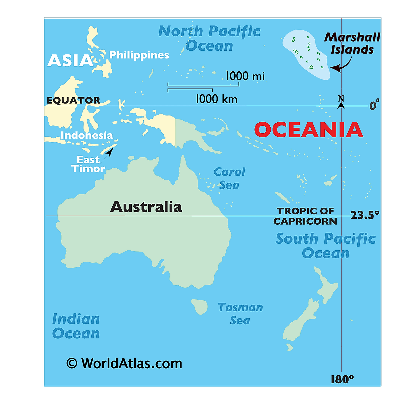
Marshall Islands is a sovereign Micronesian island country, an associated state of the United States; with 29 coral atolls comprising 1,156 individual islands and islets located in the central Pacific Ocean. It is geographically positioned in the Northern and Eastern hemispheres of the Earth and to the north of the Equator and to the west of the International Date Line. Marshall Islands is situated roughly midway between Hawaii and Australia; to the north of Narau and Kiribati; to the east of the Federated States of Micronesia and to the south of Wake Island. Marshall Islands shares maritime borders with the wake Island to the north; Kiribati to the southeast; Nauru to the south and the Federated States of Micronesia to the west.
Regional Maps: Map of
Outline Map of Marshall Islands
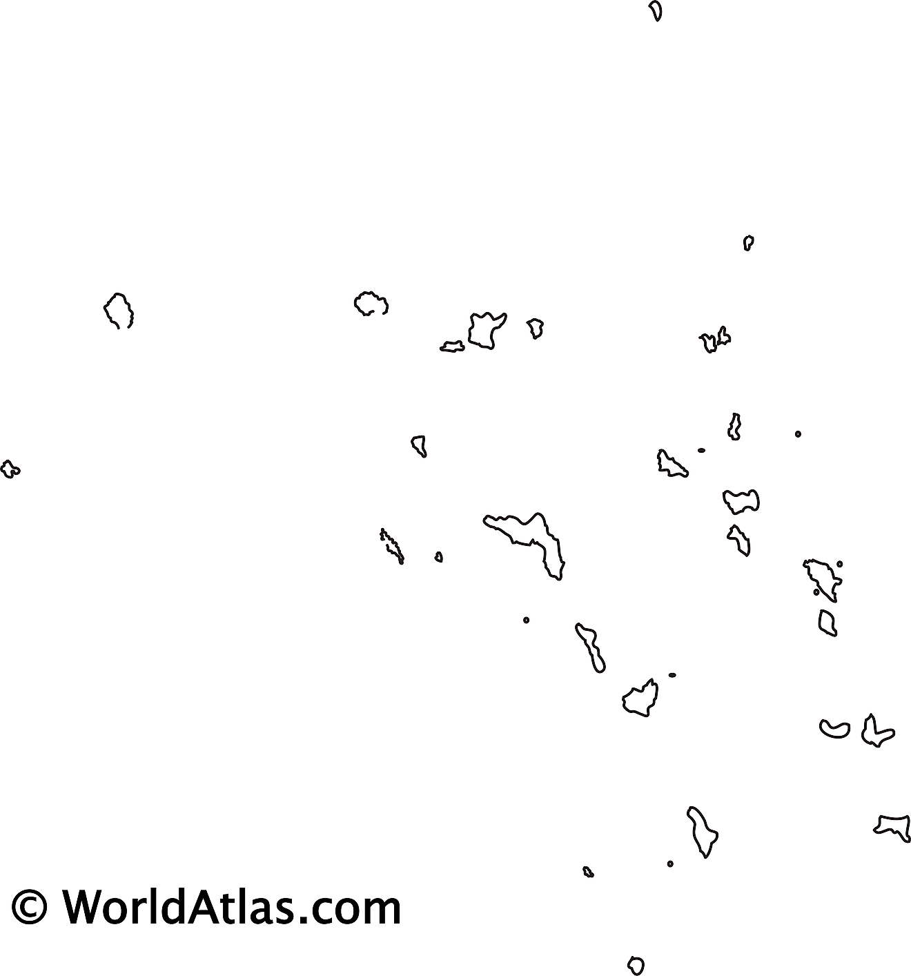
The above blank map represents Marshall Islands - a sovereign Micronesian island country and an associated state of the United States; consisting of 29 low-lying coral atolls and comprising 1,156 individual islands and islets, scattered in central Pacific Ocean. The above map can be downloaded, printed and used for geography education purposes like map-pointing and coloring activities.
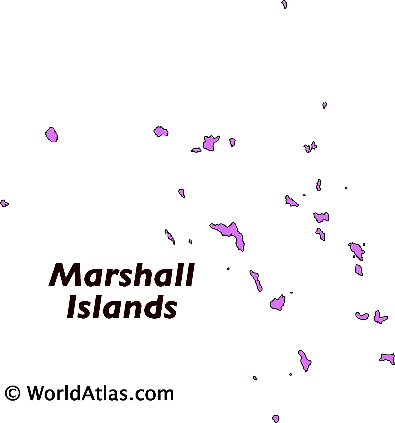
The above map represents Marshall Islands - a sovereign Micronesian island country and an associated state of the United States; consisting of 29 low-lying coral atolls and comprising 1,156 individual islands and islets, scattered in central Pacific Ocean.
Key Facts
| Legal Name | Republic of the Marshall Islands |
|---|---|
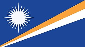
| Flag |
|
| Capital City | Majuro; note - the capital is an atoll of 64 islands; governmental buildings are housed on three fused islands: Djarrit, Uliga, and Delap |
| 7 06 N, 171 23 E | |
| Total Area | 181.00 km2 |
| Land Area | 181.00 km2 |
| Water Area | N/A |
| Population | 58,791 |
| Currency | US Dollar (USD) |
| GDP | $221.28 Million |
| GDP Per Capita | $3,788.16 |
This page was last updated on August 23, 2023
