11 Most Beautiful Lakes In Arkansas
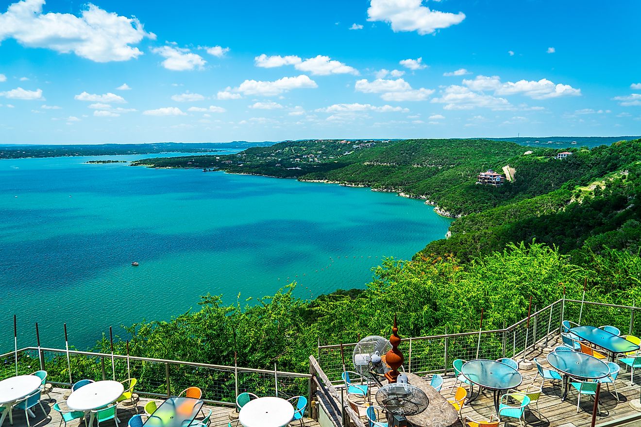
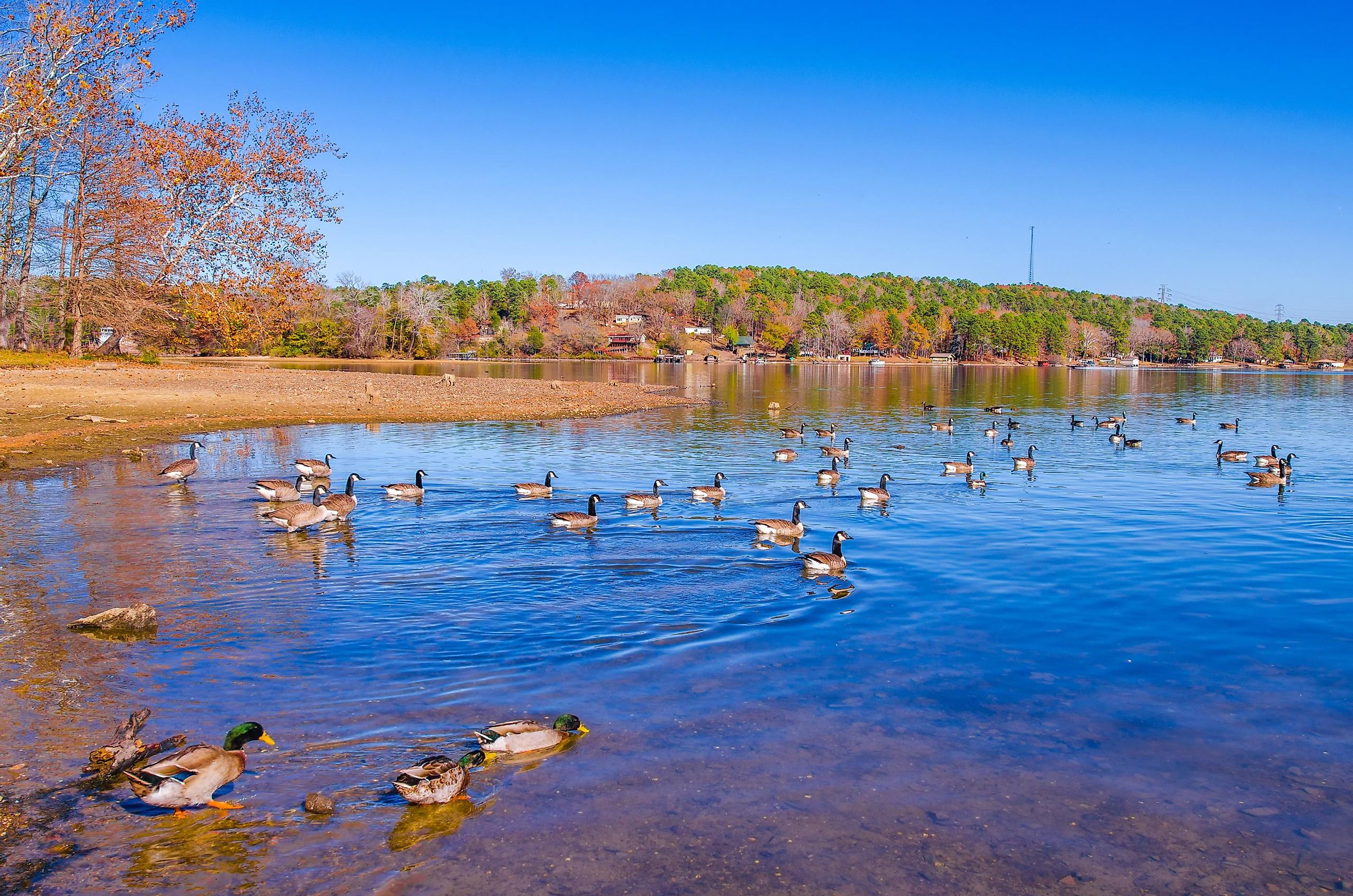
Located in the Southern United States’ south-central region, the landlocked state of Arkansas is well-known for its diverse geography. From the Ozark and Ouachita mountains to extensive forests, and eastern lowlands, the state is full of natural wonders. Arkansas is also home to a myriad of water bodies, including small farm ponds, rivers, lakes, and large reservoirs. With crystal-clear blue waters and several miles of shoreline, these waterbodies offer ample recreational opportunities besides serving as vital habitats for numerous species of wildlife. Moreover, these scenic waterways attract thousands of tourists functioning as an ideal getaway far away from the hustle and bustle of larger metropolises.
Lake Ouachita
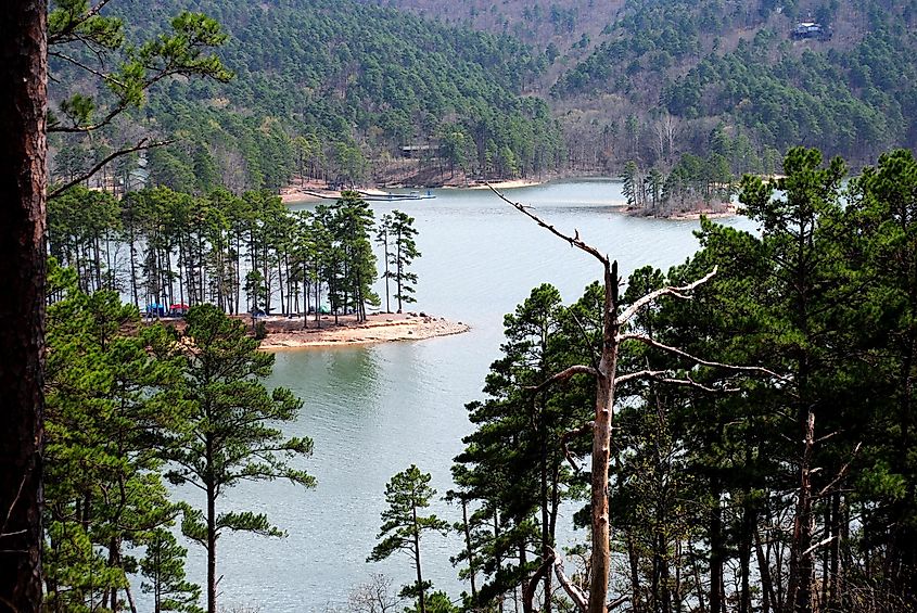
Covering more than 66,324 acres, Lake Ouachita is the most expansive lake situated completely within the limits of Arkansas, close to the resort city of Hot Springs. This reservoir was created in 1953 by the construction of the 231 ft tall Blakely Mountain Dam on the Ouachita River. Encircled on all sides by the Ouachita National Forest, the lake has more than 690-mile-long shoreline and reaches a maximum depth of 406 ft. The proximity of Lake Ouachita with Lake Hamilton, Lake Catherine, DeGray Lake, and Hot Springs National Park make Hot Springs one of the nation’s popular tourist destinations. Anglers can catch a variety of fish species in the lake, including largemouth bass, spotted bass, crappie, walleye, striped bass, smallmouth bass, and bream. Lake Ouachita also attracts scuba divers from all over the world to enjoy a fascinating underwater experience.
Beaver Lake
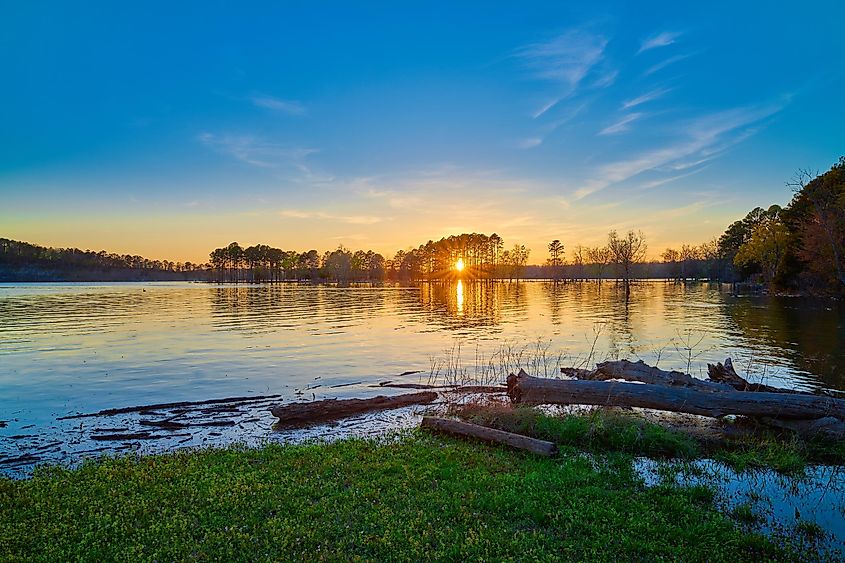
Nestled in the Ozark Mountains of Northwest Arkansas, this reservoir was created by the construction of the Beaver Dam on the White River. Placed at an elevation of 1,120 ft, Beaver Lake covers a surface area of 31,700 acres, has a maximum length of 50 miles, and a 483-mile-long shoreline. Managed by the Beaver Water District, the lake serves as a drinking water source for the residents of Northwest Arkansas. Beaver Lake is a well-known recreation destination with facilities like swimming beaches, seven full-service commercial marinas, 28 boat launching ramps, modern campsites, and many more. Located immediately south of the lake, the Hobbs State Park-Conservation Area offers year-round recreation with many picnic areas, primitive camping sites, a shooting range, and about 32.9 miles of hiking trails. Attracting more than 3.1 million visitors yearly, the lake also serves as a venue for prestigious fishing tournaments.
Greers Ferry Lake
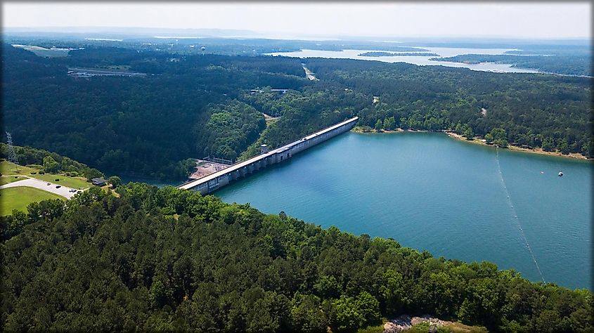
Formed by the construction of the Greers Ferry Dam on the Little Red River, this reservoir is placed approximately 60 miles north of Little Rock in Northern Arkansas. The Greers Ferry Lake consists of two lakes that are linked by a water-filled gorge known as the “Narrows.” The surface area of the two lakes, together with the Narrows, is about 40,500 acres, and the combined shoreline measures about 340 miles. Keeping up with the area’s thriving tourism industry, several luxurious neighborhoods have been built around the lake. Moreover, visitors to the lake area can enjoy swimming, boating, scuba diving, fishing, cliff diving, camping, as well as other water-based recreational activities.
Bull Shoals Lake
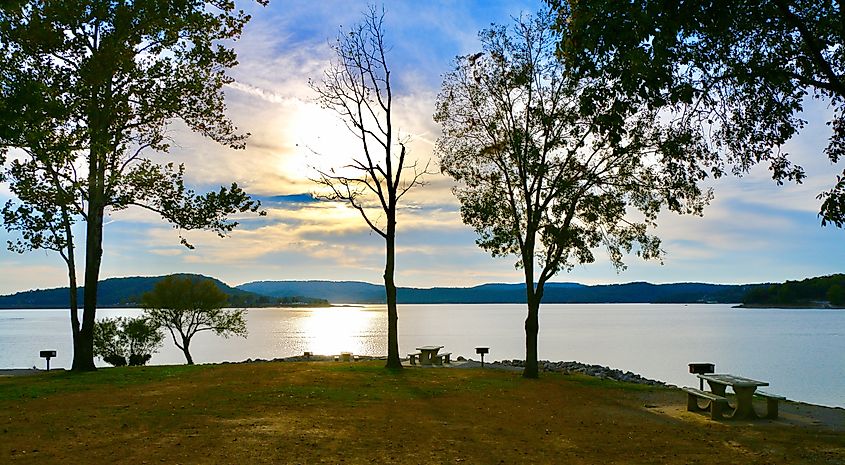
Placed on the Arkansas-Missouri border in the Ozark Mountains, this reservoir was created due to the impoundment of the White River by the Bull Shoals Dam. Encompassing a surface area of 45,150 acres, the 80-mile-long Bull Shoals Lake features miles of arms and coves stretching in different directions. The 700-mile-long forested shoreline of the lake is undeveloped and protected by a “buffer zone” maintained by the US Army Corps of Engineers. The lake supports several fish species like largemouth bass, channel catfish, bluegill, spotted bass, smallmouth bass, walleye, white bass, crappie, etc. Bull Shoals Lake offers visitors plenty of water-based recreational activities, such as fishing, tubing, boating, and swimming. The parks along the lake’s shoreline provide boat launches, marinas, campgrounds, and swim areas.
Lake Dardanelle
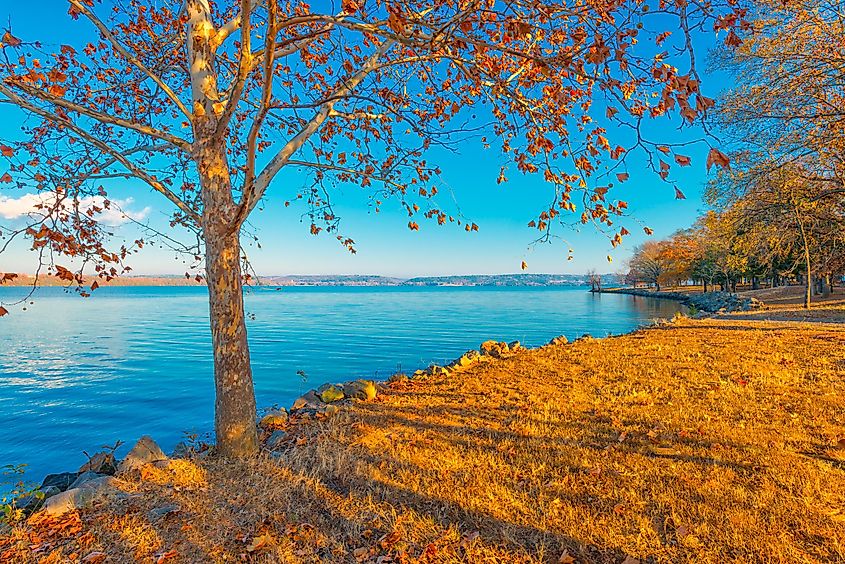
Formed by the construction of the Dardanelle Lock and Dam on the Arkansas River, Lake Dardanelle is one of the state’s major reservoirs. Covering a surface area of about 40,000 acres and with a 315-mile-long shoreline, the lake extends for about 50 miles from the Dardanelle Lock and Dam close to Dardanelle into the counties of Pope, Logan, Franklin, Yell, and Johnson. Lake Dardanelle forms a vital part of the 445-mile-long McClellan-Kerr Arkansas River Navigation System, which helps in the transportation of barges from the Mississippi River to the Tulsa Port of Catoosa. The lake’s northeastern shore houses ‘Arkansas Nuclear One’ - the state’s only nuclear power plant. The 240-acre Lake Dardanelle State Park, located on two sites on the lake, offers many recreational activities like fishing, camping, boating, picnicking, etc.
Lake Chicot
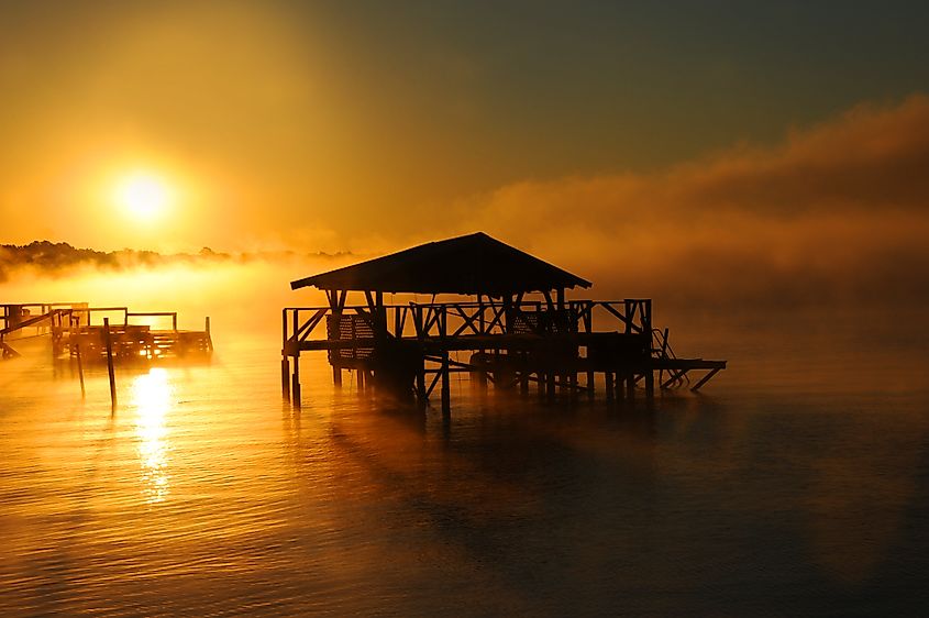
Located next to the Mississippi River, on the eastern side of Lake Village in Arkansas’s southeastern corner, Lake Chicot is not only the state’s most extensive natural lake but also North America’s biggest oxbow lake. Believed to have been formed more than 300 years ago by the serpentine Mississippi River, the “C-shaped” Lake Chicot, placed at a surface elevation of 105 ft, has a length between 21 to 22 miles and a width of about 0.75 miles. The lake supports many fish species like bluegill, largemouth bass, crappie, bream, channel catfish, hybrid striped bass, and red ear sunfish. Located on the lake’s northern shore, Lake Chicot State Park provides a well-maintained marina for launching boats. The state park also houses about 14 cabins and 122 campsites, and due to its location on the path of the Mississippi Flyway, the park offers excellent bird-watching opportunities.
Lake Maumelle
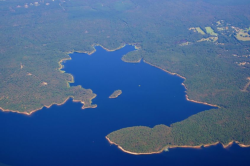
This artificial lake, located in the state’s Pulaski County, was created by the impoundment of the Big Maumelle River in the late 1950s. Covering an area of 8,900 acres and with a 70-mile-long shoreline, Lake Maumelle serves as one of the principal drinking water sources for the residents of the Little Rock metropolitan area. The lake’s central location and proximity to the state’s capital and the most populous city make it easily accessible for many Arkansans. Locally, Lake Maumelle is well-known for offering boating, canoeing, kayaking, and fishing activities. Some trails which wind around the lake also provide designated bank fishing opportunities, and fish like black bass, crappie, and catfish are major sport fishes targeted here by the anglers.
Lake Catherine
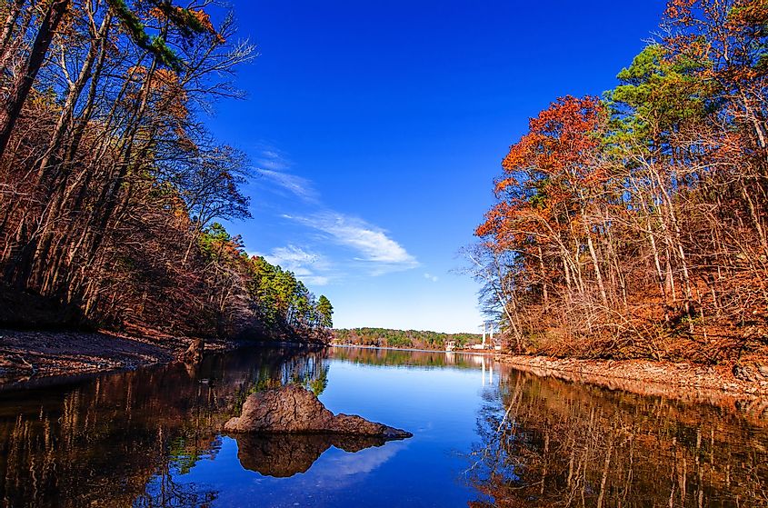
Nestled in the Ouachita Mountains, the 1,940-acre Lake Catherine was created in 1920 by the construction of Remmel Dam on the Ouachita River in the resort city of Hot Springs in Arkansas’s Garland County. Though the Remmel Dam was initially built to provide hydroelectricity, the resulting Lake Catherine developed into a recreational site in later years. Located on the lake’s southern shore, the 2,180-acre Lake Catherine State Park offers many recreational activities, like swimming, hiking, picnicking, horseback riding, boating, golfing, and camping for visitors.
Norfork Lake
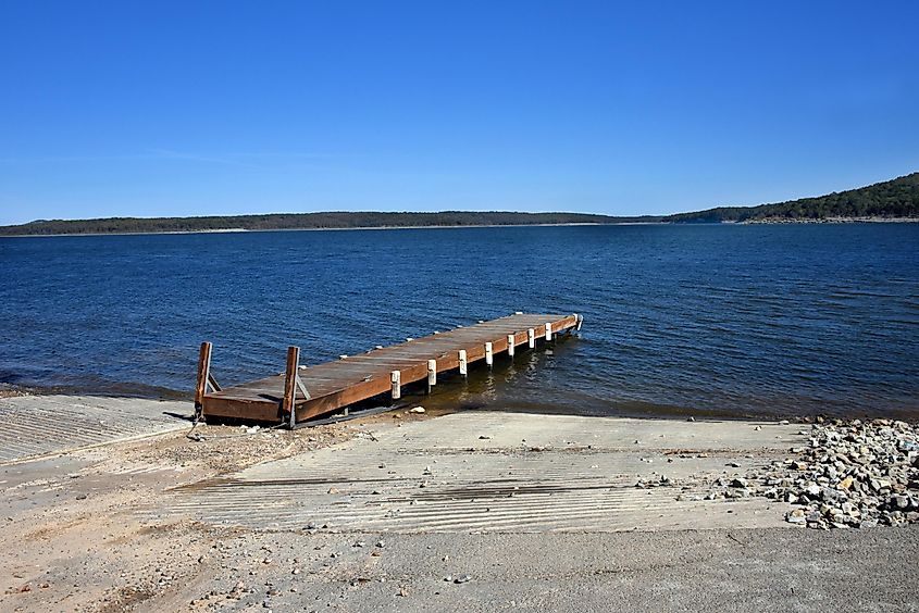
Created by the construction of the large concrete Norfork Dam across the North Fork River, this reservoir is located southeast of Mountain Home, in the southern Ozark Mountains, in Arkansas’s Baxter County. Covering a surface area of 22,000 acres, the 42-mile-long crystal-clear Norfork Lake has more than 550 miles of undisturbed shoreline. The lake supports a wide variety of freshwater game fish, including striped bass, walleye, crappie, catfish, white bass, bream, black bass, etc., that attract many anglers from all over the globe. Moreover, the Norfork National Fish Hatchery maintains a continuous supply of trout to the lake. About 19 recreational parks around the lake offer fishing, boating, swimming, water skiing, hiking, camping, picnicking, and sightseeing opportunities.
Lake Greeson
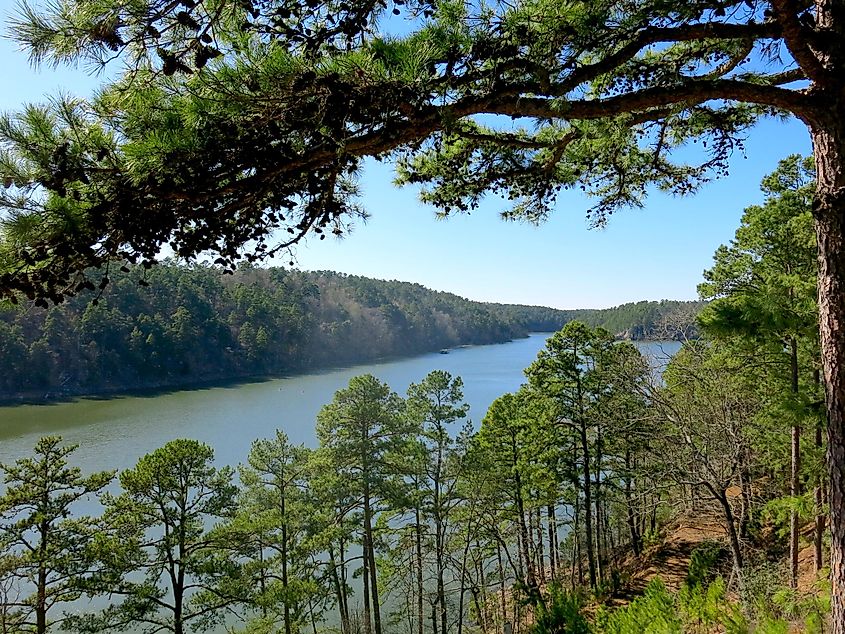
Formed by the construction of Narrows Dam on the Little Missouri River, this reservoir is situated approximately 6 miles north of Murfreesboro in Arkansas’s Pike County. Named after the civil activist Martin White Greeson, the 12-mile-long Greeson Lake is surrounded by 15 parks occupying about 15,842 acres of public lands. The lake supports various fish species, including largemouth bass, white bass, channel catfish, spotted bass, and flathead catfish. In addition to fish, many game species, like squirrels, whitetail deer, rabbits, and bobwhite quail, are also found around the lake area. The 35,000-acre Lake Greeson Public Hunting Area on the lake’s western end offers good hunting areas for the hunters. There are also 45 miles of trails for visitors to experience the lake’s breathtaking beauty.
DeGray Lake
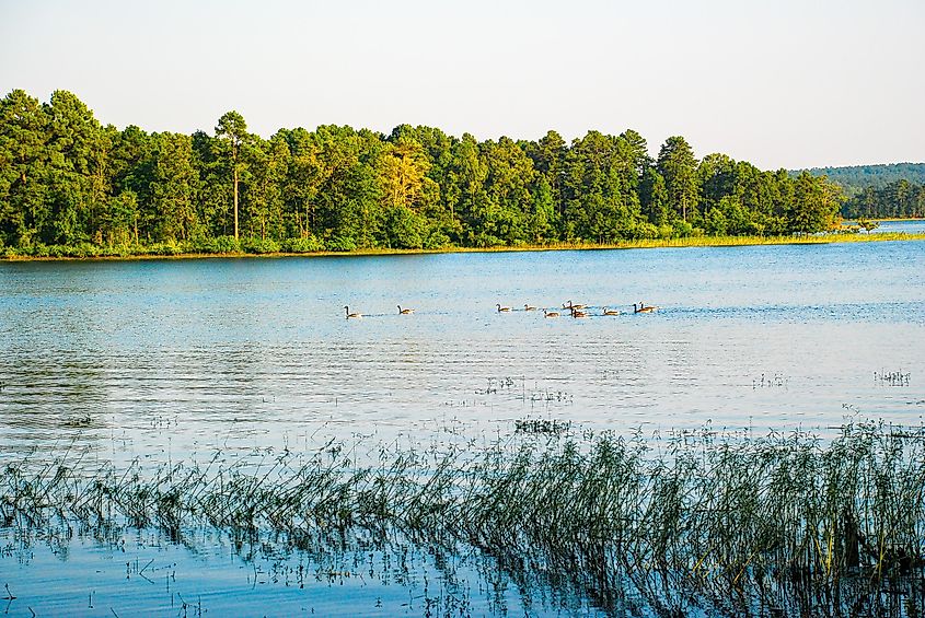
Nestled in the foothills of the Ouachita Mountains, this reservoir was formed in 1972 by the construction of the DeGray Dam on the Caddo River, about 8 miles from the city of Arkadelphia in Arkansas’s Clark County. With a surface area of 13,800 acres and a 207-mile-long shoreline, DeGray Lake reaches an average depth of 47 ft and a maximum depth of 200 ft. Widely known for its crystal-clear waters, DeGray Lake supports a variety of game and non-game wild species. Many fish species, like black bass, red ear, crappie, catfish, bluegill, white bass, walleye, largemouth bass, northern pike, and bream, are found in the lake. Different animals, like squirrels, deer, rabbits, beavers, raccoons, armadillos, and various avian species like doves, quail, bald eagles, hawks, herons, owls, and vultures, have also been observed in the areas surrounding the lake.
Forming a part of the state’s only resort state park - DeGray Lake Resort State Park, DeGray Lake offers many outdoor recreational opportunities, such as fishing, hunting, camping, swimming, biking, and boating. There are also a variety of day-use facilities located throughout the DeGray Dam project area, serving as ideal places for getaways, family vacations, reunions, and any special event.
The above-mentioned 11 lakes are some of the most spectacular bodies of water in the nation’s 29th largest and 33rd most populous state. From being placed amidst serene natural surroundings to being buzzy recreation centers, each of these beautiful lakes has its own distinctive charm. So, whether you want to witness amazing landscapes; lovely state parks with abundant flora and fauna; participate in different recreational activities, or quietly relax by the shores, then you must visit all these lakes for enjoying a quick day trip or a vacation tour with your loved ones.
