Whidbey Island
Historically spelled as Whidby, Whidbey Island is a big island forming the northern boundary of Puget Sound, approximately 30 miles north of the seaport city of Seattle in Washington’s Island County. Captain George Vancouver named the island in honor of Joseph Whidbey, a member of the Royal Navy who took part in the Vancouver expedition and sailed around this large island in June 1792. Home to a strategically important naval air station of the US Navy, Whidbey Island is placed between Olympic Peninsula and western Washington’s Interstate 5 corridor. Being easily accessible from the bustling metropolis of Seattle and other neighboring Washington cities, Whidbey Island serves as a perfect destination for a day trip where one can enjoy the island’s spectacular scenic beauty along with its charming towns, relax at its idyllic beaches, or grab a bite from any of the casual cafes and fine-dining restaurants.
Geography Of Whidbey Island

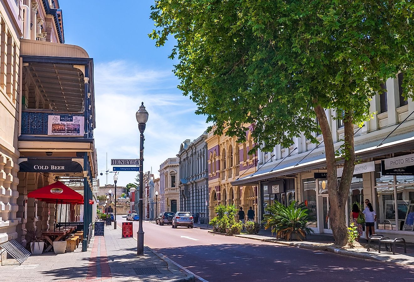
With a total land area of 168.67 square miles, Whidbey Island is the United States’ 40th largest and Washington State’s biggest island. The island has a maximum length of about 37 miles and a maximum width of 10 miles, making it the contiguous United States’ 4th longest and 4th most expansive island, after New York’s Long Island, Texas’s Padre Island, and Michigan’s Isle Royale. The significant population centers of the island include the City of Oak Harbor, the City of Langley, the town of Coupeville, the Community of Greenbank, the Community of Bayview, the Village of Freeland, and the Village of Clinton. Of these, only Coupeville, Langley, and Oak Harbor are officially incorporated, while others except Greenbank and Bayview are census-designated places.
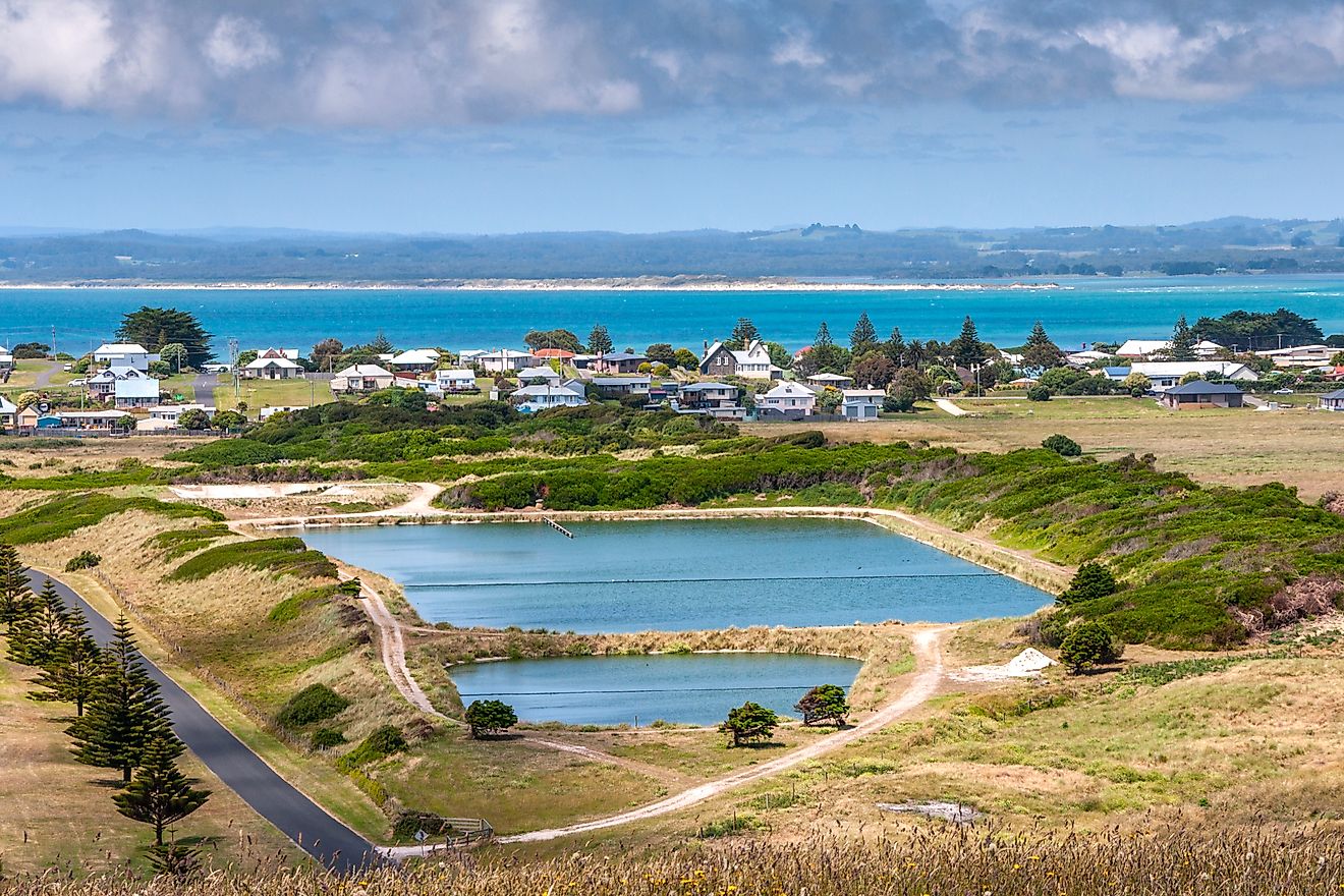
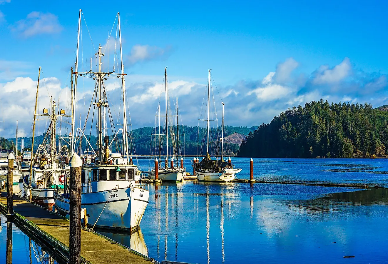
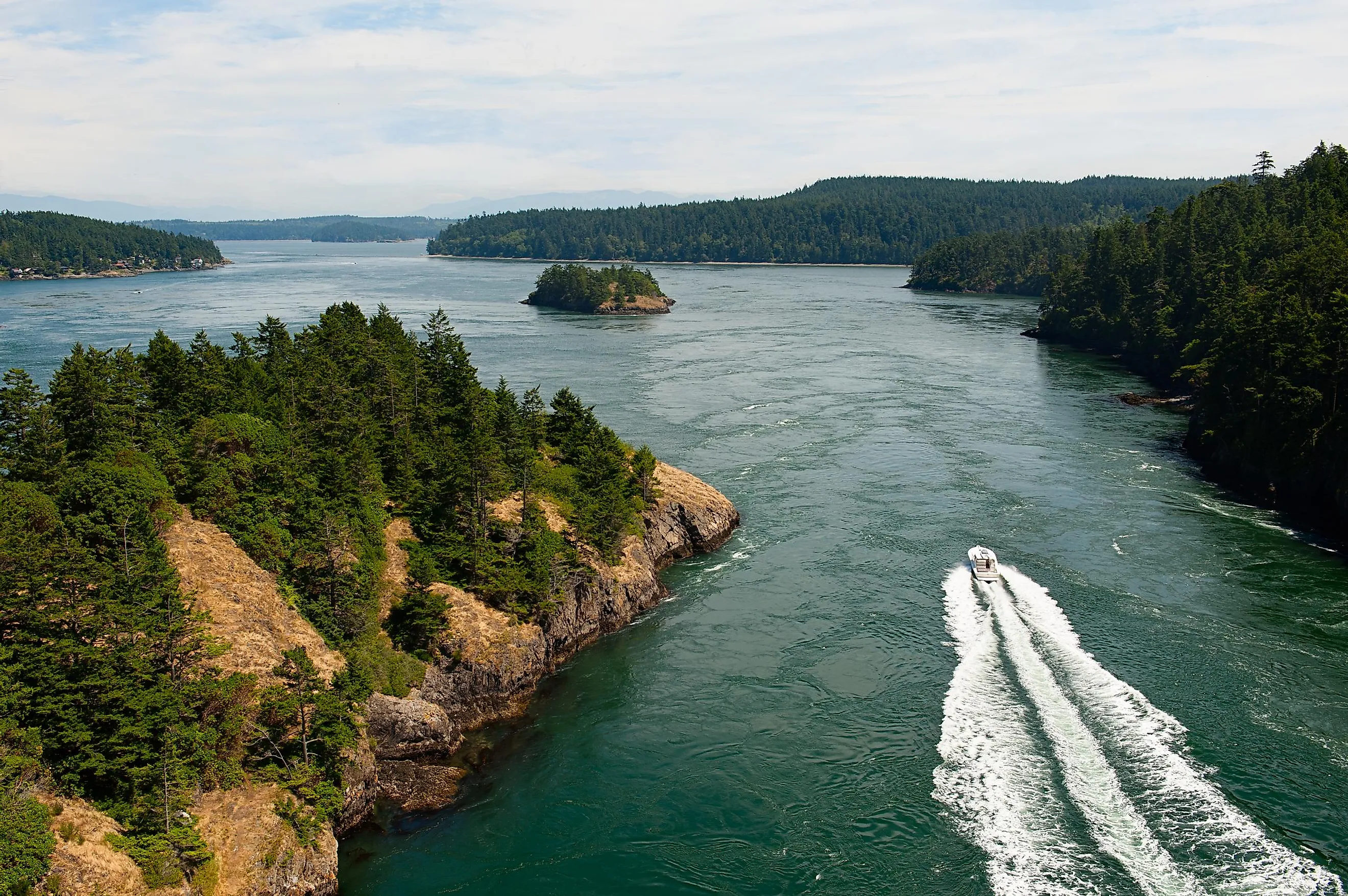
There are many bays on Whidbey Island, such as Oak Harbor on its eastern side, with the City of Oak Harbor at its base; and Penn Cove, containing the towns of San de Fuca and Coupeville on its northern and southern shores. In addition, the island has several beautiful lakes, such as Cranberry Lake, Goss Lake, Lone Lake, and Deer Lake. From 1924 to 1935, Whidbey Island was connected to Fidalgo Island via the Deception Pass Ferry. From 1935 onwards, this ferry route was replaced by the two-lane Deception Pass Bridge on State Route 20, which currently links the northern end of Whidbey Island with Fidalgo Island. Whidbey Island is also served by two Washington State Ferry routes: the Clinton-Mukilteo Ferry and the Port Townsend-Coupeville Ferry. To travel on the island, one can use the extensive county road system, all of which are eventually linked with State Route 20 and State Route 525.
Climate Of Whidbey Island
According to Köppen climate classification, Whidbey Island experiences a warm-summer Mediterranean climate, with pleasant, dry summers and cold, wet winters. The warm season lasts from June 12 to September 23, where August is the year’s warmest month, having an average temperature ranging between 67°F and 53°F. The cold season lasts from November 19 to February 22, where December is the year’s coolest month, having an average temperature ranging between 37°F and 46°F. Due to its location in the Olympic Mountain’s rain shadow area, the island receives variable amounts of rainfall – about 36 inches in the south, 20 to 22 inches in the central, and 32 inches in the northern regions. The island also has several microclimates, which are determined by its closeness to water bodies, prevailing winds, and elevation from sea level.
History Of Whidbey Island

The indigenous Native American tribes, who resided in large communal longhouses and survived by consuming shellfish, nuts, berries, and roots, were the only inhabitants of the Pacific Northwest for thousands of years. Many groups of Coast Salish Indians, including Swinomish, Snohomish, Lower Skagit, and Suquamish, inhabited the island and named it “Tscha-kole-chy,” in the native Salishan language. However, during the late 1700s and the early 1800s, the Native American populations across the area were decimated by epidemic diseases brought by early explorers, sailors, and non-Native settlers. The Spanish explorers Manuel Quimper and Gonzalo Lopez de Haro were the first known Europeans to sight the island during their 1790 expedition on the Princesa Real.
On May 30, 1792, Royal Navy Officers Joseph Whidbey and Peter Puget began exploring the areas around present-day Puget Sound as part of the Vancouver Expedition. Lieutenant Whidbey and his team members reached ashore close to Penn Cove, believing it to be the mainland. When Whidbey sailed northwards to Deception Pass, he realized that his previous landing place was part of a big island. On June 10, 1792, Captain George Vancouver named the island “Whidbey Island” in honor of Joseph Whidbey. On May 26, 1840, a Catholic missionary named Father Francois Norbert Blanchet stayed over a year on the island and helped the inhabitants build a new log church.
In 1841, as a part of the United States Exploring Expedition, Lieutenant Charles Wilkes landed at Penn Cove. Several sites in the area were named by Wilkes, including Hammersley Inlet, Hale Passage, Agate Passage, Maury Island, etc. In 1848, in an attempt to become the island’s first settler, a farmer named Thomas W. Glasgow made the first land claim. However, the local inhabitants forced Glasgow out of the island in August of the same year. In 1850, Colonel Issac N. Ebey arrived and claimed a square mile of prairie, becoming the island’s first permanent white settler. In 1978, Ebey’s Landing National Historical Reserve was established on Whidbey Island, which is the country’s first national historic reserve created by the National Park Service. The principal purpose of this reserve is to preserve the island’s culture and rural history as well as to protect the rare and sensitive floral species of the area.
Flora And Fauna Of Whidbey Island
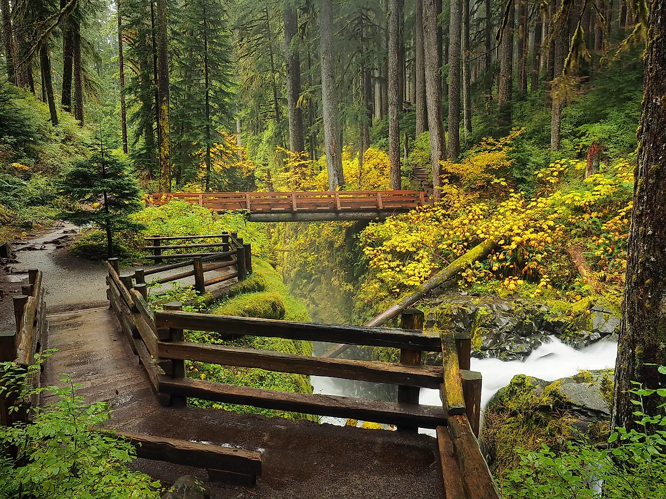
The vegetation of Whidbey Island varies greatly, with trees like Douglas fir, bigleaf maple, western hemlock, red alder, western red cedar, and Pacific madrone observed on the southern half. Some under-story plants, like evergreen huckleberry, ocean spray, elderberry, and short Oregon grape, are also found here. The northern parts of the island are dominated by red huckleberry, tall Oregon grape, Pacific rhododendron, Garry oak, grand fir, Sitka spruce, etc. Ebey Prairie, Smith Prairie, and Crockett Prairie are the three open prairie areas on Whidbey Island.

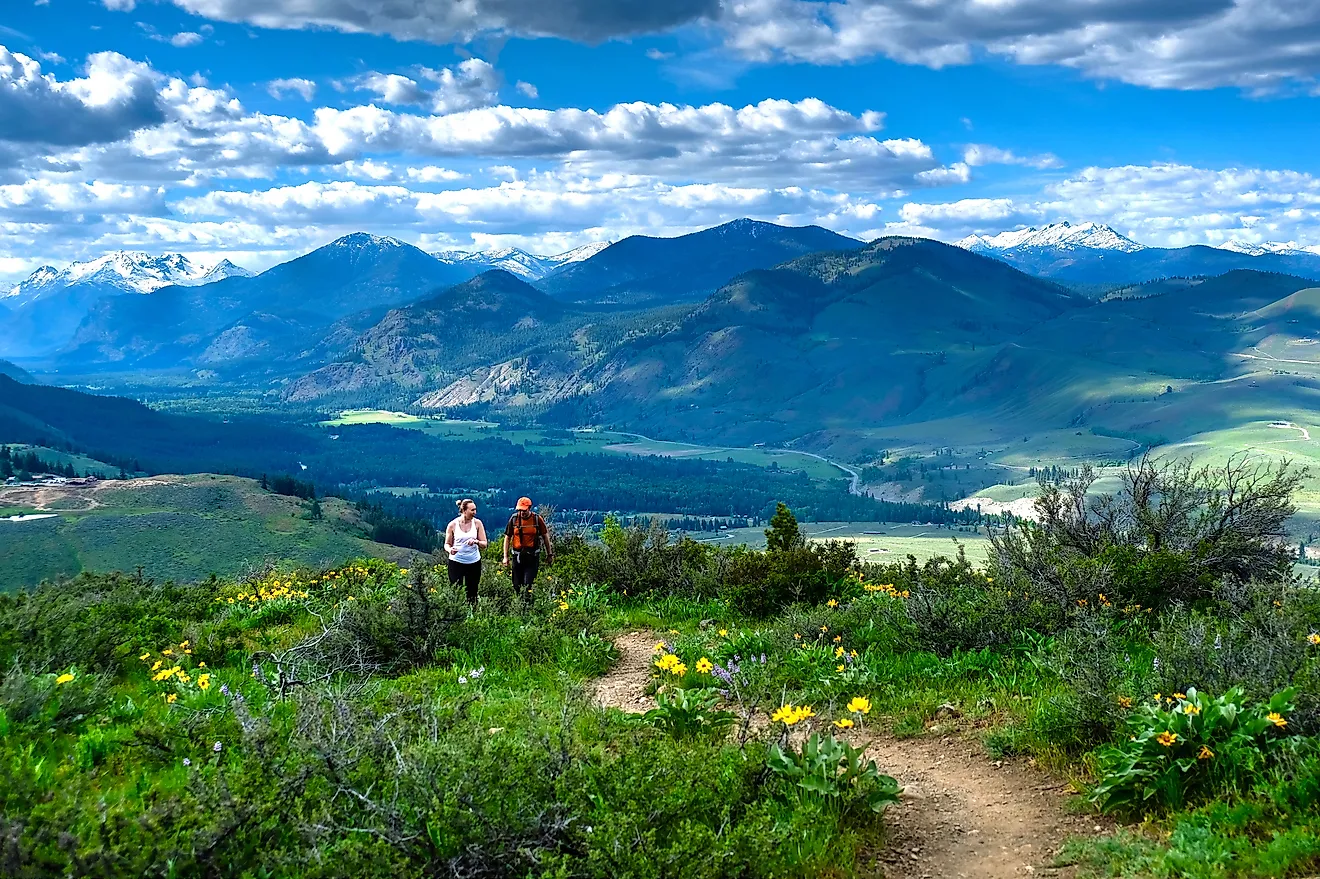
During March and April, the migration of Pacific gray whales between Whidbey and Camano Islands can be witnessed from both the shores as well as from the ships. The waters surrounding the island are also home to Orcas, while clams and oysters are harvested from public beaches. Moreover, the diverse habitats on Whidbey Island are used by more than 230 avian species.
Economy Of Whidbey Island

Economically, Whidbey Island is divided into two distinct regions: the northern portion of the island – which contains Oak Harbor and Whidbey Island Naval Air Station; and the remaining portion of the island, which includes Coupeville, Freeland, Clinton, Greenbank, Langley, and several smaller communities. The Whidbey Island Naval Air Station strongly influences the economy of the northern end of Whidbey Island and serves as Oak Harbor’s biggest employer. The economy of the places located south of Oak Harbor is based on tourism, arts, and small-scale agricultural practices. Massive amounts of Penn Cove Mussels are exported by the Penn Cove Mussel Farm of Coupeville. In addition, several performers, painters, sculptors, authors, metal workers, photographers, musicians, etc, reside peacefully on Whidbey Island.
Attractions In Whidbey Island
Fort Ebey State Park

This public recreation area is located approximately 5 miles west of Coupeville on the western side of Whidbey Island. Covering an area of about 651 acres, the park is placed within Ebey’s Landing National Historical Reserve overlooking the Strait of Juan de Fuca. The Fort Ebey State Park features around 3 miles of saltwater shoreline, 25 miles of trails, and Lake Pondilla - a 3.7-acre freshwater lake. The park is also crossed by a short 4-mile stretch of the 1200-mile-long Pacific Northwest National Scenic Trail. Some of the recreational activities offered by the park include paragliding, fishing, picnicking, beachcombing, and camping.
Fort Casey State Park

This 999-acre marine camping park forms a part of the Washington State Park System as well as Ebey’s Landing National Historical Reserve. Named after the renowned Brigadier General Thomas Lincoln Casey and constructed in the late 1800s, Fort Casey was used for defending the entrance of the Puget Sound along with Fort Worden and Fort Flagler at the beginning of the 20th century. At present, a pair of rare 10-inch disappearing guns and two 3-inch mounted guns are housed inside the fort. The park also houses the restored Admiralty Head Light overlooking the Admiralty Inlet.
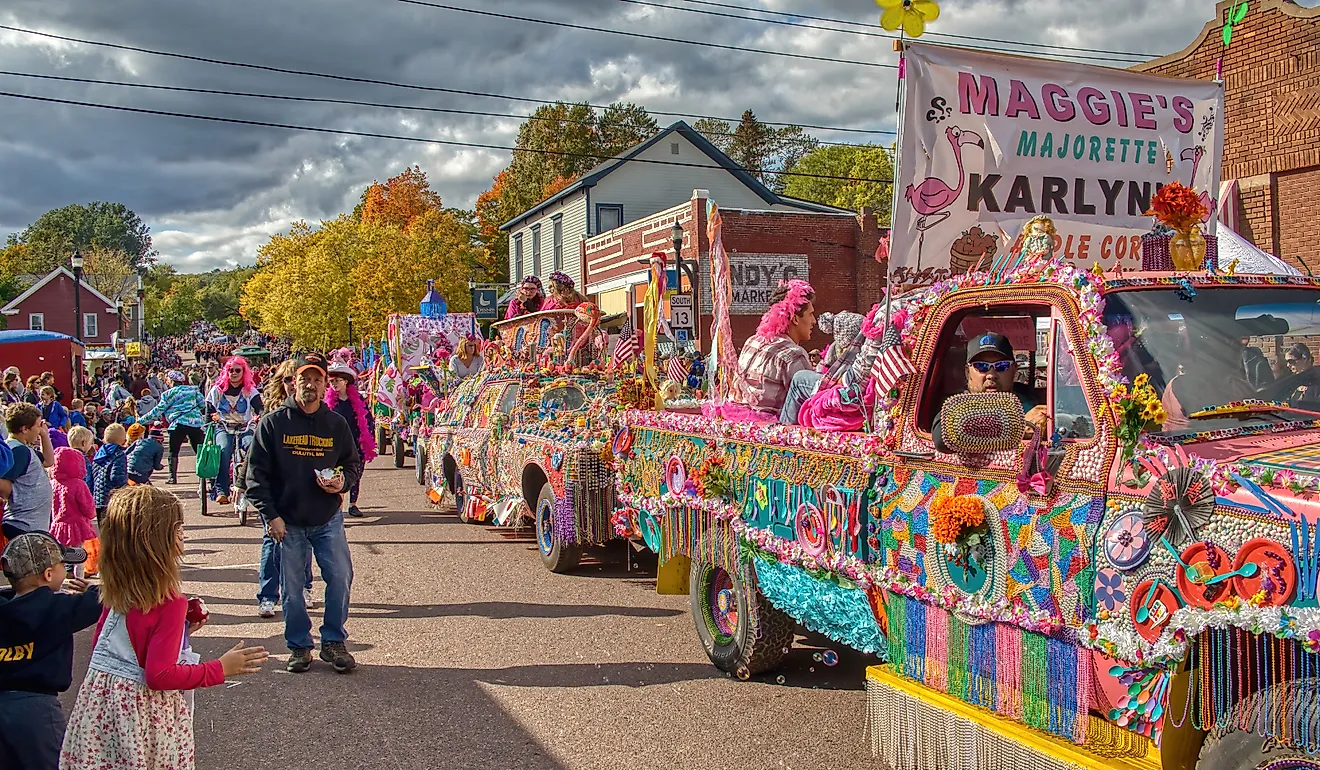
Throughout the year, Whidbey Island hosts several festivals and celebrations like the Oak Harbor Music Festival, Whidbey Island Zucchini Festival, Whidbey Island Marathon, Holland Happening Parade and Heritage Festival, Penn Cove Mussel Festival, Whidbey Island Area Fair, and many more. So, what are you waiting for? Pack your bags and head to Whidbey Island to enjoy the magnificent beauty of a pristine Pacific Northwest Island.