The Best National Forests In The Rocky Mountains
The National Forest system across the Rocky Mountains protects over 15 million acres of high-alpine terrain, managing a network of more than 15,000 miles of trails that traverse glacial cirques, subalpine meadows, and ancient conifer forests. Unlike National Parks, which prioritize strict preservation and often restrict mechanized travel or dispersed camping, National Forests operate under a multiple-use mandate that permits widespread backcountry camping access alongside recreation. This management model creates a distinct visitor experience characterized by lower densities, fewer developed amenities, and direct access to remote wilderness areas without the requirement of permits for day use. Six National Forests across Montana, Wyoming, and Colorado exemplify this diversity, offering verified metrics on acreage, trail mileage, and ecological zones for travelers seeking extensive backcountry immersion.
Flathead National Forest, Montana

Flathead National Forest encompasses 2.4 million acres in northwestern Montana, bordering Canada and containing a significant portion of the Bob Marshall Wilderness Complex. The landscape is defined by the Continental Divide, featuring rugged peaks exceeding 9,000 feet, deep U-shaped valleys carved by Pleistocene glaciers.
The forest supports a high density of large mammals. It is part of the Northern Continental Divide Ecosystem in northwest Montana, which holds the largest grizzly bear population in the lower 48 states, alongside wolves, mountain goats, and elk. Trail systems total over 2,200 miles, with the Continental Divide National Scenic Trail serving as the primary north-south corridor through the wilderness. Specific routes like the Holland-Gordon Trail and connections via the Swan Crest offer steep ascents through cedar-hemlock forests before emerging into alpine meadows.
Camping is predominantly dispersed, generally requiring sites at least 200 feet from any lake, stream, or trail unless at a designated site, though developed campgrounds like Big Creek on the North Fork offer 22 sites with vault toilets and bear-proof storage. The forest's hydrology includes the headwaters of the Flathead River, which drains into the Columbia Basin, maintaining cold-water fisheries for bull trout and westslope cutthroat trout.
Shoshone National Forest, Wyoming

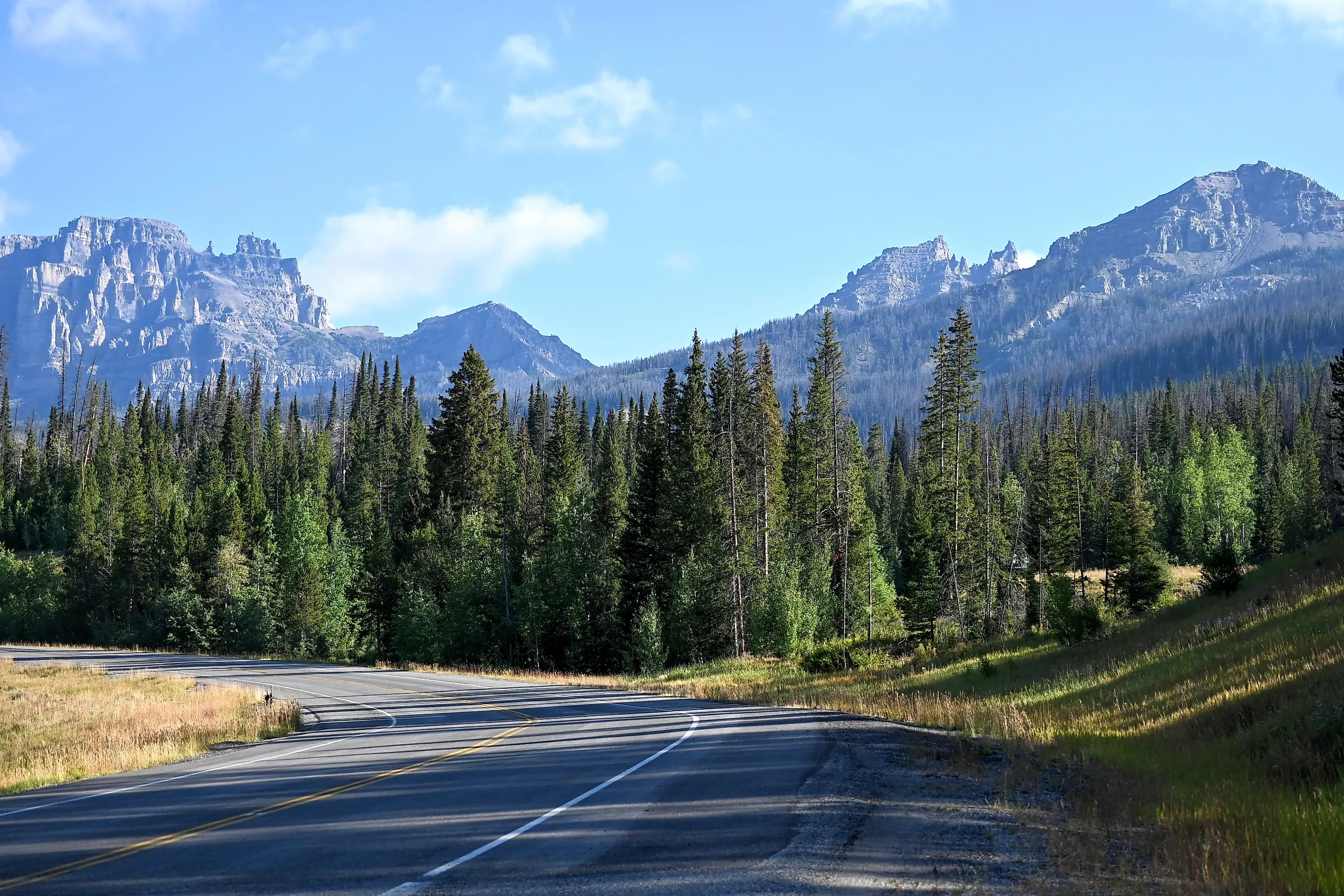
Shoshone National Forest holds the distinction of being the first National Forest in the United States, with its lands originally set aside in 1891 as part of the Yellowstone Timberland Reserve and formally designated Shoshone National Forest in 1905. It currently manages 2.4 million acres adjacent to Yellowstone National Park. The terrain features the Absaroka Range, with 20 peaks exceeding 12,000 feet, including Francs Peak at 13,158 feet. The forest contains over 1,300 miles of trails, including the 1.8-mile Popo Agie Falls Trail and the multi-day, 46.6-mile roundtrip Old Glacier Trail. In the northeastern side of the forest, the Sunlight Basin area offers remote access to high-alpine lakes and rugged volcanic terrain, distinct from the thermal features found within the adjacent park boundary.
Wildlife populations include free-roaming bison that migrate from Yellowstone onto the forest lands, along with significant numbers of bighorn sheep and grizzly bears. Camping options include 32 developed campgrounds as well as undeveloped areas throughout the forest, particularly along the North Fork of the Shoshone River.
The geology is marked by volcanic tuff and granite intrusions, creating a landscape of jagged peaks. High-elevation winter snowpack supports a robust backcountry skiing network from December through April.
White River National Forest, Colorado

White River National Forest is the most visited National Forest in the country, recording between 13 and 15 million recreation visits annually across its 2.3 million acres. The landscape includes eight wilderness areas, such as the Maroon Bells-Snowmass Wilderness, and 11 ski resorts that operate via special-use permits.
The forest maintains over 2,500 miles of trails, with the Four Pass Loop in the Maroon Bells area serving as a premier 26-mile circuit that climbs over four distinct 12,000-foot passes. The terrain is characterized by jagged granite peaks, hanging valleys, and extensive aspen groves that turn gold in September. Wildlife includes elk, mule deer, black bears, and mountain lions, with moose increasingly common in willow-lined riparian zones.
While popular zones like the Maroon Bells require reservations and specific bear-canister usage for overnight stays, the rules relax significantly in less congested districts. In areas like the Flat Tops Wilderness or sections of the Holy Cross Wilderness, visitors may establish campsites away from trailheads without a permit, provided they adhere to leave-no-trace principles. The forest's valleys sit near 7,000 feet, rising to 14,279 feet at the summit of Castle Peak, the highest point within the forest boundaries. This elevation range creates distinct life zones, including montane shrublands and alpine tundra.
Bridger-Teton National Forest, Wyoming

Bridger-Teton National Forest spans 3.4 million acres, ranking as the third-largest National Forest in the contiguous United States. The forest contains three major wilderness areas. Bridger, Teton, and Gros Ventre collectively protect about 1.2 million acres of contiguous wildland. The landscape borders the Teton Range, offering dramatic views of the granite spires that rise abruptly from the Jackson Hole valley floor, although the main peaks reside within Grand Teton National Park.
Camping options include first-come, first-served developed sites like Atherton Creek as well as unrestricted camping throughout the forest, provided tents are pitched at least 100 feet from water sources or trails. The forest's geology includes sedimentary limestone and dolomite formations that fossilize marine life from the Paleozoic era, visible in the higher elevations.
The forest manages the Gros Ventre drainage, the site of the massive 1925 landslide that dammed the river to form Lower Slide Lake. The trail system exceeds 2,200 miles, extensive routes in the Teton and Gros Ventre Wildernesses that access high-alpine lakes and granite spires. Wildlife density is among the highest in the region, with regular sightings of moose, elk, bears, and wolves, particularly in the Gros Ventre drainage.
Rio Grande National Forest, Colorado

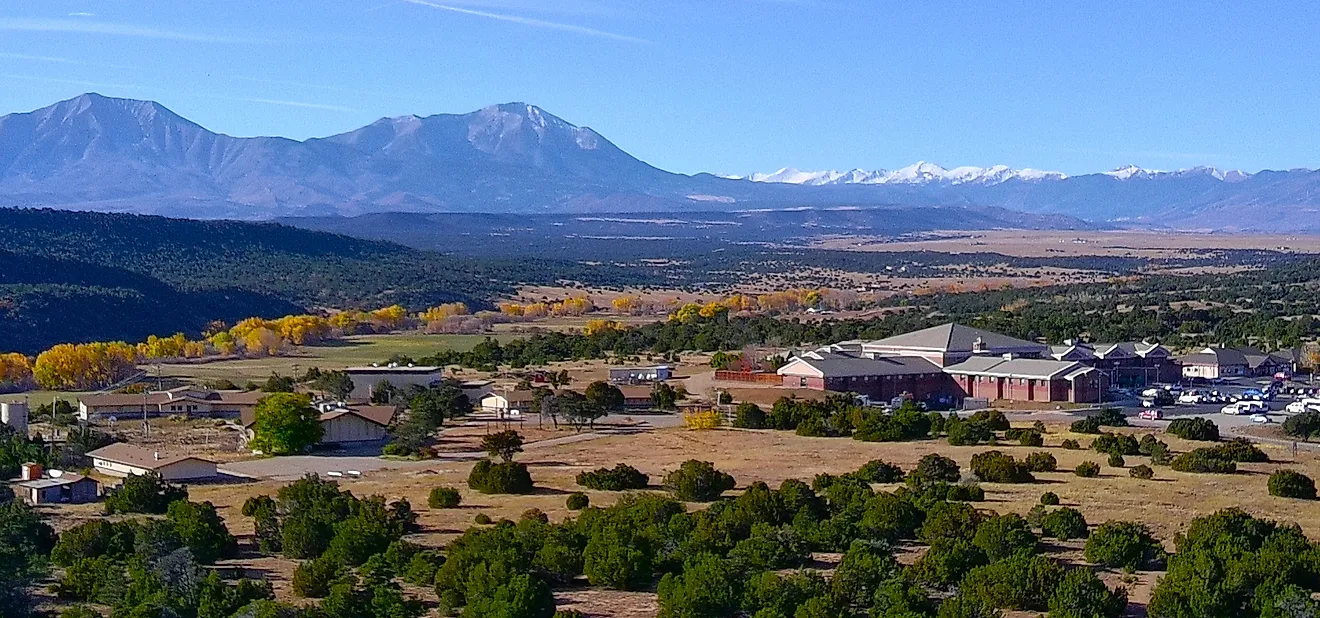
Rio Grande National Forest covers roughly 1.84 million acres in south-central Colorado, distinguished by containing the headwaters of the Rio Grande, the fourth-longest river in the United States, which originates high in the San Juan Mountains before flowing nearly 1,900 miles to the Gulf of Mexico. The terrain includes the San Juan Mountains and the Sangre de Cristo Range, with several peaks exceeding 14,000 feet, such as San Luis Peak at 14,023 feet within the San Juans.
The forest manages over 1,350 miles of trails, including segments that access the Weminuche Wilderness, the largest wilderness area in Colorado at 499,771 acres. The South San Juan Wilderness area offers remote routes like the 24-mile loop around the Summit Peak area, accessing high-alpine lakes and volcanic peaks. Wildlife populations include large herds of elk and mule deer, along with black bears and occasional mountain lions.
Undeveloped camping is permitted across the forest, with specific restrictions in place during fire season, and developed campgrounds like South Fork provide sites with electric hookups. The forest's volcanic history is evident in the extensive deposits of tuff and ignimbrite, creating rugged, colorful peaks that contrast with the golden aspen groves in autumn.
Custer Gallatin National Forest, Montana

Formed by the administrative merger of the Gallatin and Custer National Forests in 2014, the Custer Gallatin National Forest encompasses over 3 million acres across southwestern Montana and South Dakota. The landscape is defined by the Beartooth Mountains, which hold dozens of glaciers and the highest 41 peaks in the state, including Granite Peak at 12,799 feet, the highest point in Montana.
The hydrology includes the Gallatin River, known for its trout fishing and whitewater rafting. In addition to backcountry options, the forest features over 60 developed campgrounds that offer basic amenities like pit toilets and potable water. The forest supports extensive winter recreation opportunities including snowshoeing and backcountry skiing from November through May.
The forest maintains over 2,300 miles of trails, with the Mystic Lake via West Rosebud Trail covering about three miles one-way of steep ascent through pine forests to a glacial cirque at 9,000 feet. Wildlife includes grizzly bears, wolves, mountain goats, and bighorn sheep, with the forest serving as a critical corridor for migration between Yellowstone and the northern ranges.
The Rocky Mountain National Forest System
These six National Forests collectively protect over 15 million acres of Rocky Mountain terrain, preserving a continuum of ecosystems that spans semi-arid foothills and glaciated alpine summits.
Trail networks in these forests each exceed 1,300 miles individually, providing connectivity to vast wilderness areas. The geological diversity, spanning volcanic calderas in Colorado and granite spires in Wyoming, supports a wide array of wildlife populations, including apex predators that require large, unfragmented habitats.
By maintaining this balance of access and conservation, the National Forest system ensures the preservation of the Rocky Mountains' ecological integrity while accommodating millions of annual visitors.