The Flattest National Forest In America
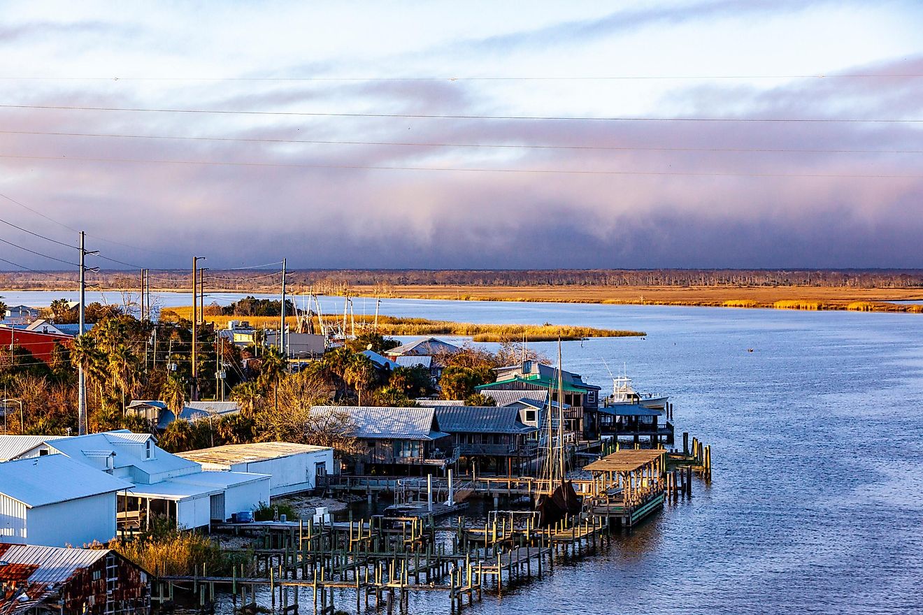
The highest point in South Carolina's Francis Marion National Forest is only about 80 feet above sea level, lower than a typical eight-story building. The forest's lowest ground sits right at sea level, where tidal creeks wind into salt marsh along the Atlantic coast north of Charleston. Across roughly 260,000 acres of pine woods, swamps, and blackwater creeks, that leaves only about 80 feet of total relief. That is a smaller gap between high and low ground than almost any other national forest in the country. The Forest Service does not keep an official ranking of flat forests, and a few other coastal-plain forests come close. But measured by the difference between its highest and lowest points, Francis Marion is a strong candidate for the flattest national forest in America.
Why Francis Marion Is So Flat

Francis Marion sits on the Atlantic Coastal Plain, a wide belt of low land built from sand, clay, and shells that washed down from the mountains or settled on the seafloor over millions of years. As sea levels rose and fell, the ocean repeatedly flooded and retreated across this land, leaving behind broad, nearly level terraces and old shorelines that rise only a few feet at a time. There are no mountains here and almost no hills. Instead, the landscape changes through subtle shifts in elevation of just a few feet, enough to turn dry pine ridges into soggy swamps.
Geologists read these low steps as a record of ancient coastlines. Each terrace marks a time when the ocean stood higher than it does today, and the sandy ridges that run across the forest are thought to be the remains of old beaches and barrier islands. Rivers here move slowly for the same reason. The Santee River, which forms the forest's northern edge, drops so gently toward the sea that its lower reaches spread into wide swamps and tidal marsh rather than cutting a deep valley.
Where A Few Feet Change Everything

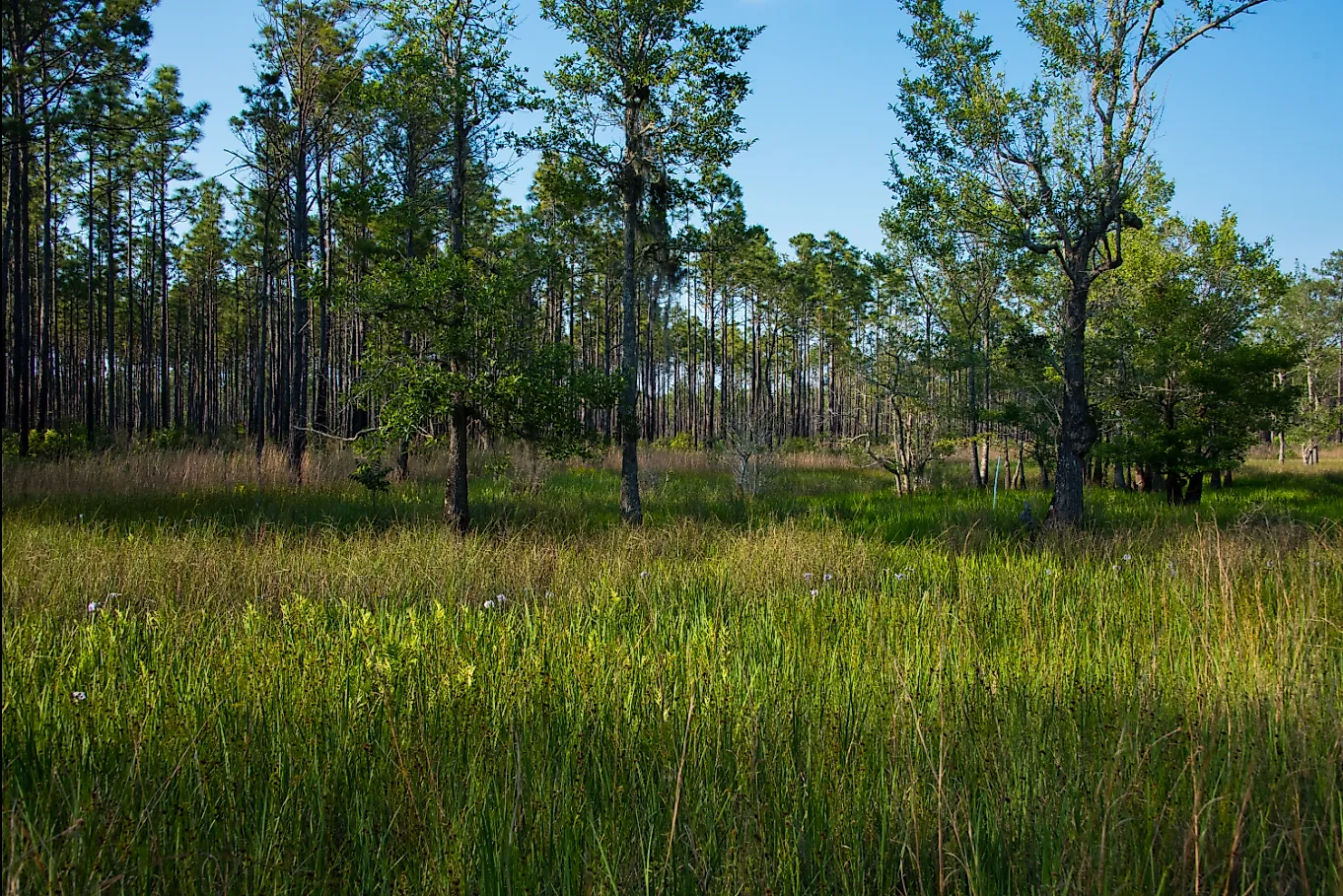
In a forest this flat, water has nowhere to go, and that shapes nearly everything. Slightly higher ground holds open stands of longleaf and loblolly pine, while the lowest spots stay wet much of the year as cypress-gum swamps, blackwater creeks, and pocosins, dense shrub wetlands with soggy peat soils. Scattered across the forest are Carolina bays, mysterious oval depressions that fill with rainwater, including the one that gives the Hell Hole Bay Wilderness its name. The forest's four wilderness areas, Hell Hole Bay, Little Wambaw Swamp, Wambaw Creek, and Wambaw Swamp, all protect these low, waterlogged landscapes.
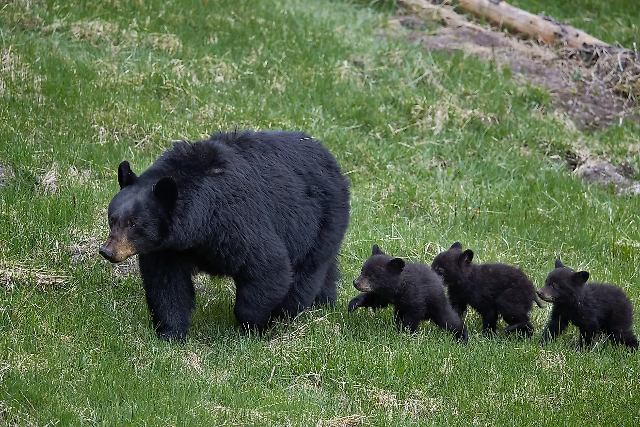
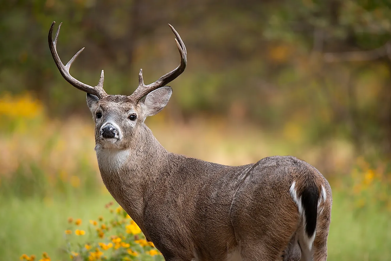
Between the pines and the swamps lie open, grassy savannas that flood in wet seasons and dry out in summer. These are some of the most plant-rich places in the forest, home to carnivorous pitcher plants, sundews, and wild orchids that thrive in poor, soggy soil. The wetlands also shelter alligators, river otters, and wading birds, while the higher pine ground supports fox squirrels, white-tailed deer, and wild turkeys.
A Forest Built For Fire

The pine flatwoods of the coastal plain evolved with frequent, low-intensity fire, and Francis Marion's managers use prescribed burns to keep the forest healthy. Regular fire clears out thick underbrush and keeps the pine stands open and grassy, the kind of habitat needed by the endangered red-cockaded woodpecker, which carves its nest cavities in living pine trees. The forest's mix of open pine, swamp, and marsh supports so many species that the National Audubon Society and the American Bird Conservancy have both named it an Important Bird Area. On the flat ground, fire can also spread quickly, which is one more reason managers plan their burns carefully.
Without fire, the open pine stands slowly fill with hardwoods and shrubs, crowding out the grasses and wildflowers that grow beneath the longleaf. Managers try to mimic the natural pattern of lightning-sparked fires, burning patches of the forest every few years, often during the growing season when those fires once occurred. The work has helped Francis Marion support one of the most important red-cockaded woodpecker populations in the country, along with other fire-dependent species such as Bachman's sparrow.
Swamp Fox Country And A Hurricane's Mark

The forest takes its name from Francis Marion, the Revolutionary War officer known as the "Swamp Fox." Marion and his militia used the region's tangled swamps to hide from British troops, striking quickly and then slipping back into the wetlands where larger armies could not follow. The national forest was established in 1936, after decades of logging had stripped much of the original pine forest.
In 1989, Hurricane Hugo struck the South Carolina coast and tore through Francis Marion, flattening huge areas of forest in a single night. On land this low and open, there were no hills to block the wind, and many of the tallest pines snapped or blew over. The storm also destroyed many of the old pine cavities that red-cockaded woodpeckers depend on. In the decades since, managers have replanted longleaf pine, installed artificial nesting cavities, and used prescribed fire to help the forest recover, and much of it has grown back into open pine woods.
The Other Flat Contenders

Francis Marion has company. North Carolina's Croatan National Forest, about 160,000 acres on the coast near New Bern, rises only from sea level to roughly 100 feet, and geographers have studied it under the fitting title of "a flat place." Florida's Osceola and Apalachicola national forests also stretch across low, nearly level pine flatwoods and swamps. All of them share the same coastal-plain origins, and all of them show how a landscape with almost no slope can still be full of variety.
Each has its own character. The Apalachicola, the largest national forest in Florida, spreads across the Panhandle south of Tallahassee, with longleaf pine, river swamps, and sinkhole ponds. The Osceola, near Lake City in northern Florida, surrounds the edge of the vast Okefenokee-Pinhook swamp system and protects the site of the Battle of Olustee, the largest Civil War battle fought in the state.
Flat Land, Rich Life
A flat national forest might sound dull, but Francis Marion proves the opposite. Its tiny changes in elevation create a patchwork of pine ridges, swamps, bays, and marshes, each with its own plants and wildlife. Visitors can explore it by paddling one of its canoe trails, including the blackwater Wambaw Creek, or by hiking the long, level stretches of trail through the pines. In a forest where the land barely rises at all, the real high points are the birds, the wildflowers, and the quiet water.