The Best National Forests In The Pacific Northwest
The Pacific Northwest's national forests protect a landscape defined by vertical extremes and ecological diversity, spanning the glaciated peaks of Washington's Cascade volcanoes and the lake-dotted mountains of northern Idaho. These USDA Forest Service lands offer a vast network of trails, campgrounds, and recreational access points. The visual signatures of these forests depend on specific environmental thresholds. The wet coastal ranges require massive precipitation to sustain their old-growth biomass, while the inland forests of Idaho rely on high-elevation snowpack and deep alpine lakes to define their character. Six national forests in Washington, Oregon, and Idaho each preserve a critical component of this regional diversity, offering access to volcanoes, coastal rainforests, and rugged granite peaks.
Mount Baker-Snoqualmie National Forest, Washington

Mount Baker-Snoqualmie National Forest protects a vertical landscape that rises from the Puget Sound lowlands to the glaciated peaks of the Cascade Range, including the active volcano Mount Baker. The forest manages over 1.7 million acres of varied terrain from meadows and valleys to snow-capped peaks rising over 10,000 feet. At high elevations, lodgepole pine and mountain hemlock stands thrive in the deep snowpack that persists well into summer.
Recreation here is intense and varied. The Mount Baker Highway (State Route 542) provides vehicle access to high-alpine meadows like Heather Meadows, while the Pacific Crest Trail cuts through the wilderness core defined by dense forests and mountain streams. Over 1,500 miles of hiking trails weave throughout the land. The 7.5-mile round-trip hike to Park Butte offers views of the Coleman Glacier and the volcano's summit, traversing subalpine meadows that bloom with wildflowers in July. In addition to backcountry camping dispersed throughout the forest, the US Forest Service also maintains 37 campgrounds.
The forest is also a critical water source for the Seattle metropolitan area, with its snowpack acting as a natural reservoir. Winter conditions bring heavy snowfall, making the forest a premier destination for backcountry skiing and snowshoeing, particularly around the Mount Baker Ski Area. The presence of the threatened northern spotted owl dictates protection measures in the old-growth reserves, preserving ancient stands of Douglas-fir and western red cedar.
Willamette National Forest, Oregon

The Willamette National Forest spans over 1.6 million acres of the western Cascade Mountains in Oregon, protecting a transition zone where wet coastal forests meet drier eastern pine stands. This forest is defined by its volcanic history. The North Santiam River and other waterways cut through ancient lava flows, creating a rugged topography that supports a mix of Douglas-fir, western red cedar, and Ponderosa pine.
The forest contains several designated wilderness areas, such as the Three Sisters Wilderness, where the approximately 46-mile (when started from Pole Creek) Three Sisters Loop offers a strenuous trek around three major volcanic peaks. Hikers traverse pumice fields, alpine lakes, and old-growth forests, encountering hot springs along the Whitewater Trail.
The forest's proximity to Eugene and Salem makes it a heavily used recreation hub, with trailheads often filling by mid-morning on summer weekends. Winter conditions close many high-elevation roads, necessitating the use of tire chains or alternative routes for access to ski areas like Willamette Pass. The surrounding ecosystem supports a diverse array of wildlife, including elk, black bears, and the threatened spotted owl, which nests in the remaining old-growth stands.
Gifford Pinchot National Forest, Washington

Gifford Pinchot National Forest surrounds the volcanic Mount St. Helens, offering a front-row seat to one of the most studied ecological recovery events in history. The 1980 eruption blasted 230 square miles of forest, reshaping the landscape overnight. Today, the 1.3-million acre forest manages this terrain as a living laboratory where natural regeneration is visible at every turn.
Visitors can hike the popular five-mile section of the 50-mile Boundary Trail to Harry's Ridge to see how lupine flowers stabilized the ash, allowing trees to slowly reclaim the barren slopes. The Pacific Crest Trail traverses the forest, connecting the blast zone to the high alpine meadows of the Goat Rocks Wilderness.
Ape Cave, a 2.5-mile long lava tube, offers a unique underground experience with open access to visitors. The forest also contains numerous hot springs, such as those along the Lewis River, drawing visitors who seek both geological drama and recreational solitude. Old-growth corridors connect the forest's fragmented habitats, providing critical nesting areas for the northern spotted owl and the marbled murrelet.
Siuslaw National Forest, Oregon

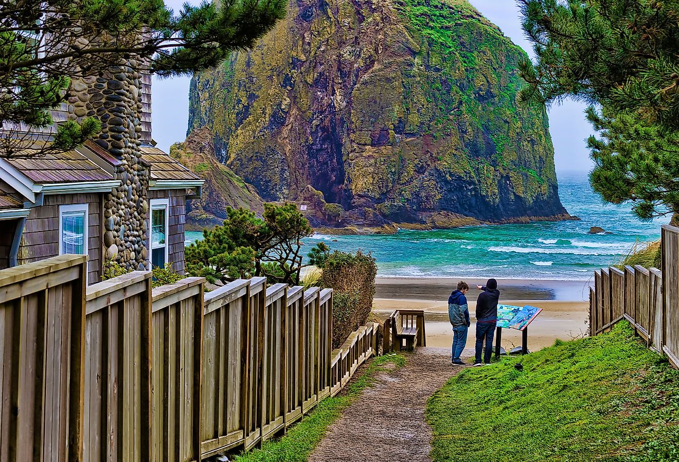
Siuslaw National Forest holds an unusual distinction among the national forests, its boundaries holding the largest expanse of coastal sand dunes in North America. Stretching from the crest of the Coast Range to the Pacific Ocean, this 630,000-acre forest manages a dynamic interface where salt spray, sand, and temperate rainforest collide.
The Oregon Dunes National Recreation Area, a component of the forest, features shifting sand hills that rise over 500 feet, creating a habitat unlike any other in the national forest system. The forest's western slopes receive immense rainfall, fostering dense stands of Sitka spruce that grow in the salt-tolerant zone near the beach.
The Tahkenitch Creek Trail winds through these coastal forests, offering views of dunes and lakes. Wind and sand movement constantly reshape the dune ecosystem, creating a dynamic landscape that shifts with the seasons. The US Forest Service manages the delicate balance between recreational access and the protection of sensitive species like the snowy plover, which nests on the open sand. The forest's proximity to the coast makes it a critical buffer against storm surge, with its vegetation holding the dunes in place against the Pacific's winter gales.
Idaho Panhandle National Forests

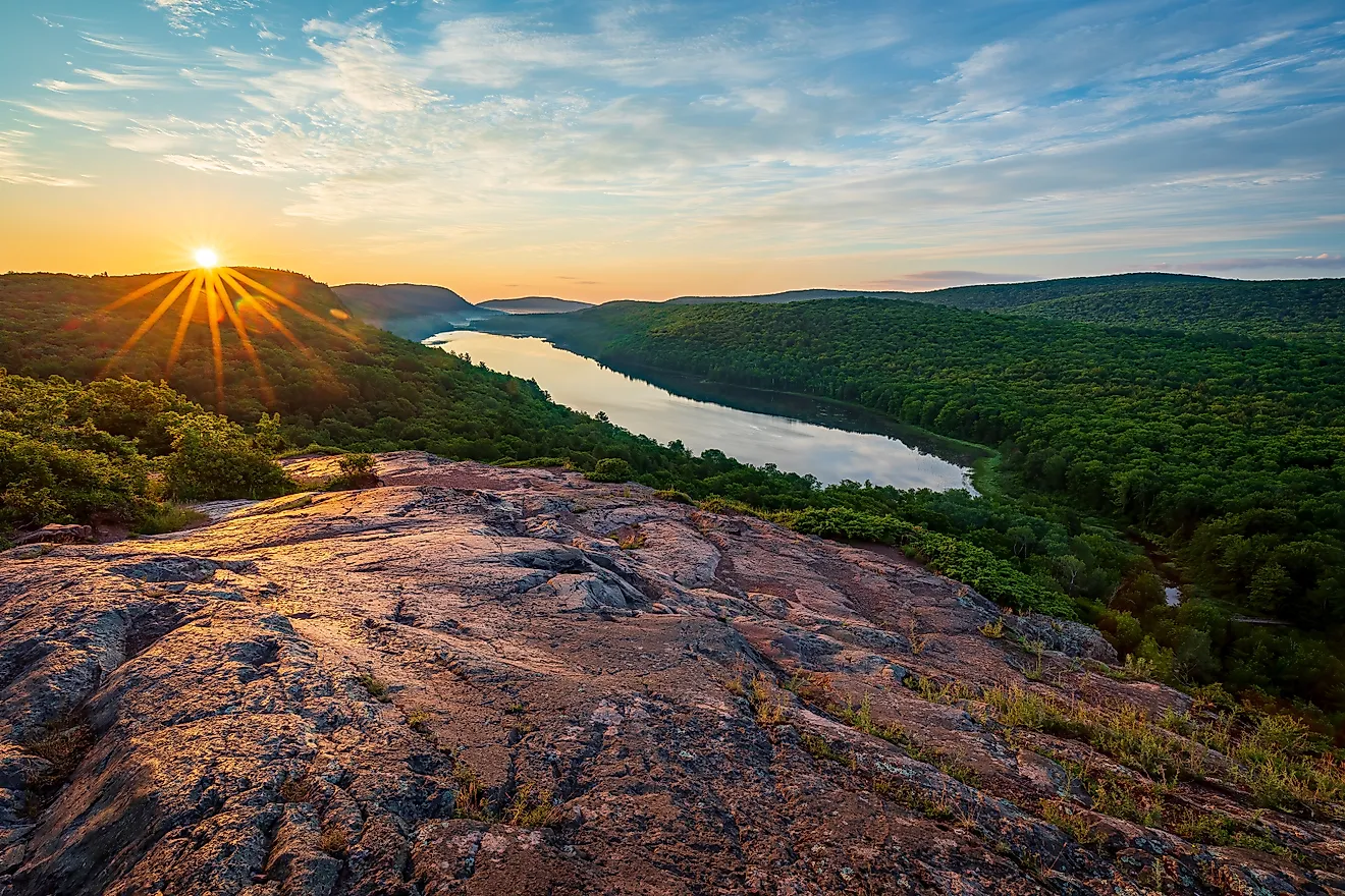
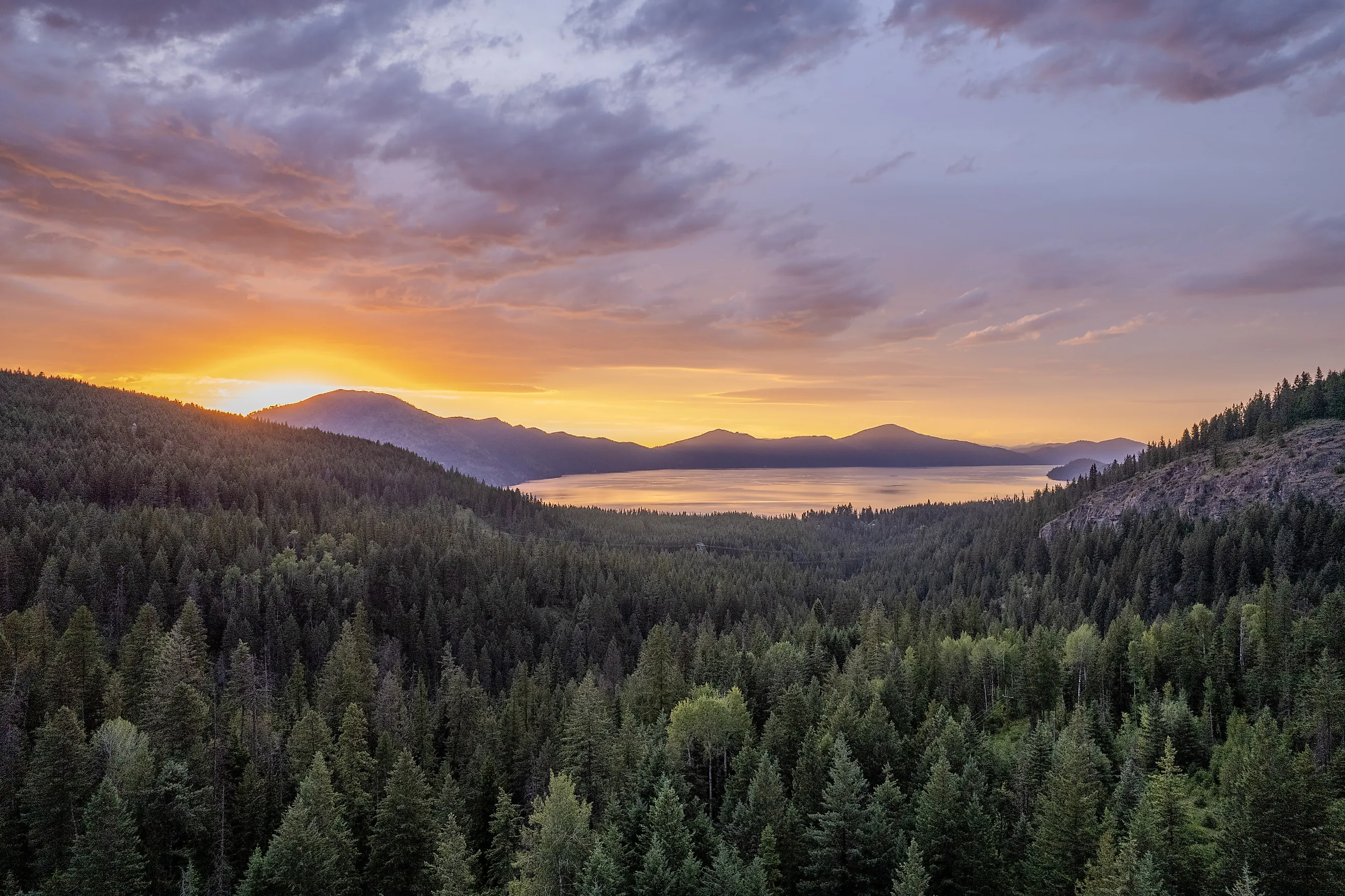
The Idaho Panhandle National Forests, an administrative grouping of the Coeur d'Alene, Kaniksu, and St. Joe National Forests, occupy the narrow northern tip of Idaho, a remote landscape defined by the Selkirk and Cabinet Mountains where deep glacial lakes meet dense coniferous forests. Together they manage over 2.5 million acres of terrain where the primary ecological driver is the interaction between high-elevation snowpack and the region's massive water bodies, including Lake Pend Oreille.
The forests' ecology is characterized by western red cedar, western hemlock, and grand fir, species that thrive in the moist, cool climate of the Pacific Northwest despite being hundreds of miles inland. Visitors access these lands through a network of forest roads that wind along the shores of pristine lakes, offering immediate access to boat launches and campgrounds. The Forest Service maintains over 3,000 miles of trails, including the approximately 30-mile round trip Coeur d'Alene River Trail, which follows a historic rail corridor through dense forests and across trestles.
Hikers can ascend to the summit of Snowy Top for panoramic views of the surrounding wilderness, while anglers target bull trout and kokanee salmon in the cold, deep lakes. Winter conditions bring heavy snowfall, making these forests a premier destination for cross-country skiing and snowmobiling, particularly in the Silver Mountain area. The surrounding ecosystem supports a diverse array of wildlife, including mountain goats, elk, and grizzly bears.
Colville National Forest, Washington

Colville National Forest occupies the northeastern corner of Washington, a dry, rugged landscape that differs sharply from the wet forests west of the Cascade crest. Dominated by Ponderosa pine, Douglas-fir, and larch, this 1.5-million-acre forest experiences a continental climate with hot, dry summers and heavy snow winters. Within the forest, the Kettle River Range offers plentiful hiking and fishing opportunities, with the 44-mile Kettle Crest Trail providing panoramic views of the surrounding peaks and valleys and rainbow trout, bull trout, and mountain whitefish inhabiting the river.
The forest's high-elevation areas retain snowpack well into summer, feeding the streams and lakes that support populations of trout and char. Winter sports include cross-country skiing and snowmobiling on designated routes, while summer months offer prime conditions for hiking and mountain biking through open pine stands and rocky ridges. The landscape is characterized by granite outcrops and deep valleys, remnants of volcanic activity from the Mesozoic era.
Conclusion
These six national forests illustrate the breadth of the Pacific Northwest's public lands, from the coastal dunes of Siuslaw to the dry pine ecosystems of the Colville. These forests integrate conservation with recreation, offering a vast network of trails, campgrounds, and access points that extend beyond the boundaries of nearby national parks.
For visitors, the experience is defined by wilderness immersion and access points scattered across a vast landscape. Unlike the single, often congested entrance stations of a national park, these forests offer dozens of trailheads and campgrounds along multiple highway corridors, dispersing visitors across a wider geography. A hiker can choose between a crowded, famous peak or a quiet, unmarked ridge just miles away. This decentralized access allows for a more flexible exploration of the region's diversity.